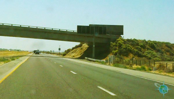
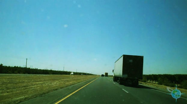
Highway 5, which is the most direct way to drive down south. It runs nearly directly down the center of California and takes approximately hours to get from San Francisco to Los Angeles. Highway 5 is a two-lane road with no scenery to speak of, only isolated open fields (some of just dirt) as far as the eye can see; every once and a while there is a small hill, smelly cow farm, or roadside town to fill up on gas or grab some fast food. I was organized enough to bring some snacks so that I didn’t have to make my body suffer the effects of eating fast food.
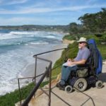
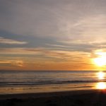
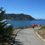
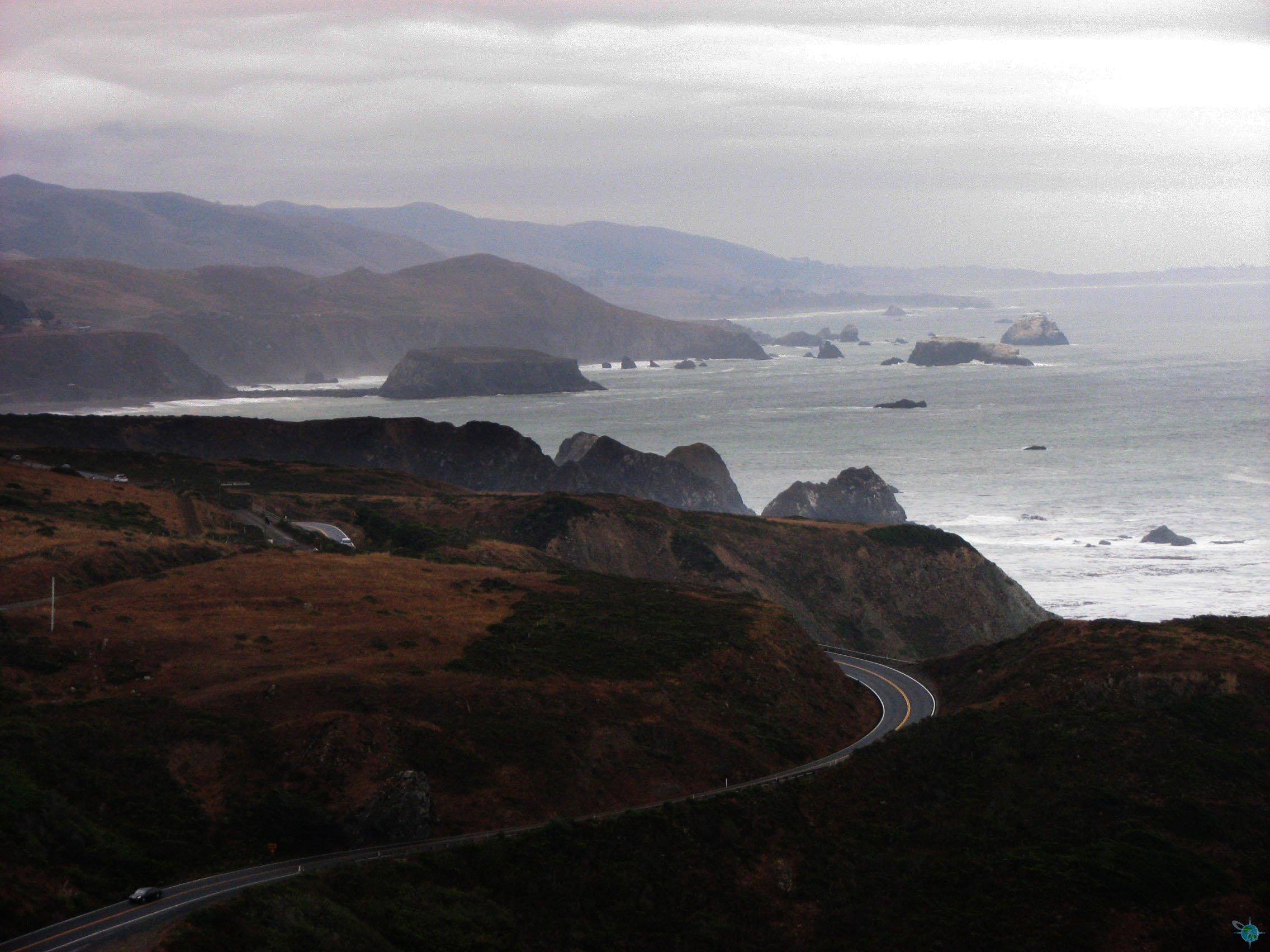
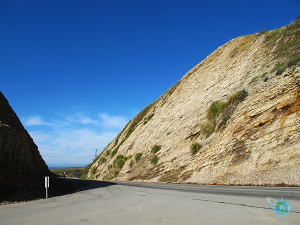
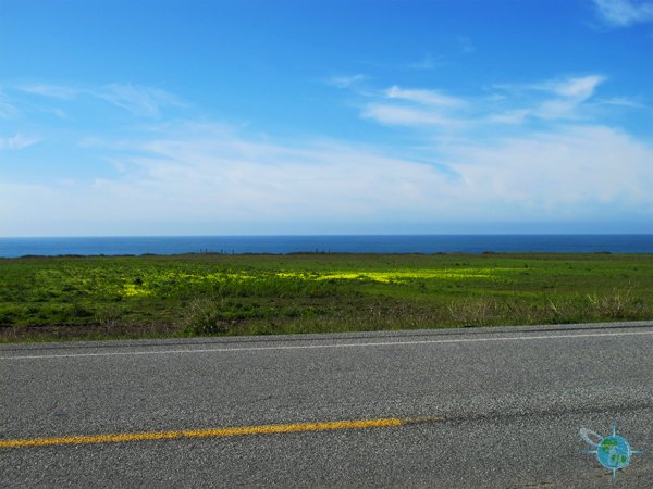
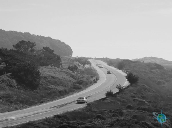
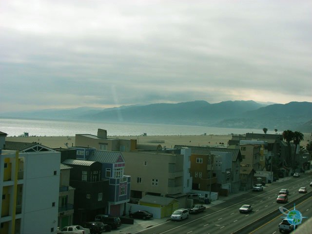
The other driving route is highway PCH1 which at some points turns into the 101, which runs along California’s coast. This drive can take up to an additional two hours or more depending on traffic in both the Santa Barbara and San Jose areas. However, if you can spare the extra time it’s a great way to get a small snapshot of California. For a good portion of the drive, the Pacific Ocean can be seen. There are a few great cities and towns to stop at a poke around if desired too, like the university cities of Santa Barbara and San Louis Obispo as well as the beach town of Pismo or the wineries in the Santa Maria area made famous in the movie Sideways. Further up north and closer to San Francisco are the beach towns of Santa Cruz, Half Moon Bay, and Monterey; all are charming.