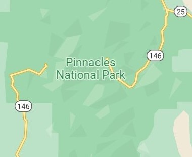
 Pinnacles National Park is located in central California by Monterey. The park was formed by volcanic eruptions and sits along the Chalone Creek Fault. Roads into the east and west side of the park do not connect, so advance planning is recommended.
West Side
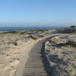
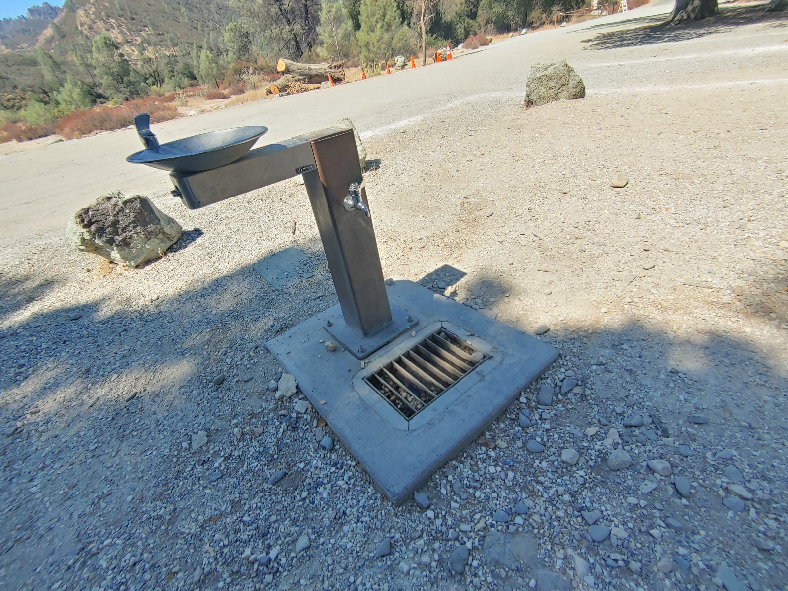
On the west side, explore Pinnacles National Park from the mountain tops. Around the west side visitor center, find smooth pathways and accessible features, including toilets and drinking fountains.


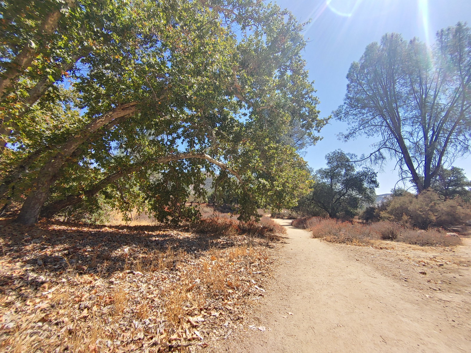
At this visitor center is trailhead for the Prewett Point Trail. The trail is made from packed dirt and is about a mile long. It starts out straight and then loops around the hillside for a panoramic view of the High Peaks and Balconies Cliffs; a few benches and informational panels are along the way.
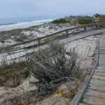
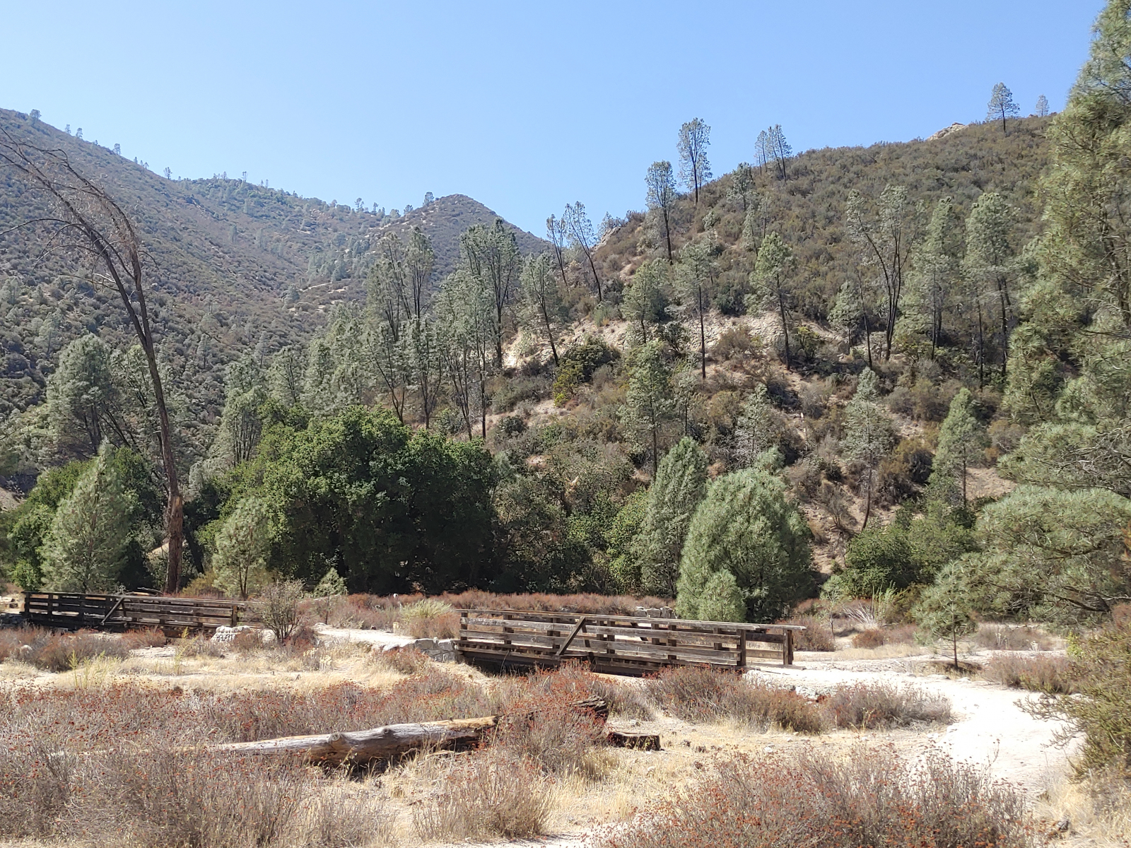
At the end of the west side in the “Chaparral” area are a few trails, and although none are officially or completely wheelchair accessible, parts are possible, especially along the Balconies Trail. I was able to go over two bridges to get close to the rocks, but then definitely couldn’t continue up a stone staircase.
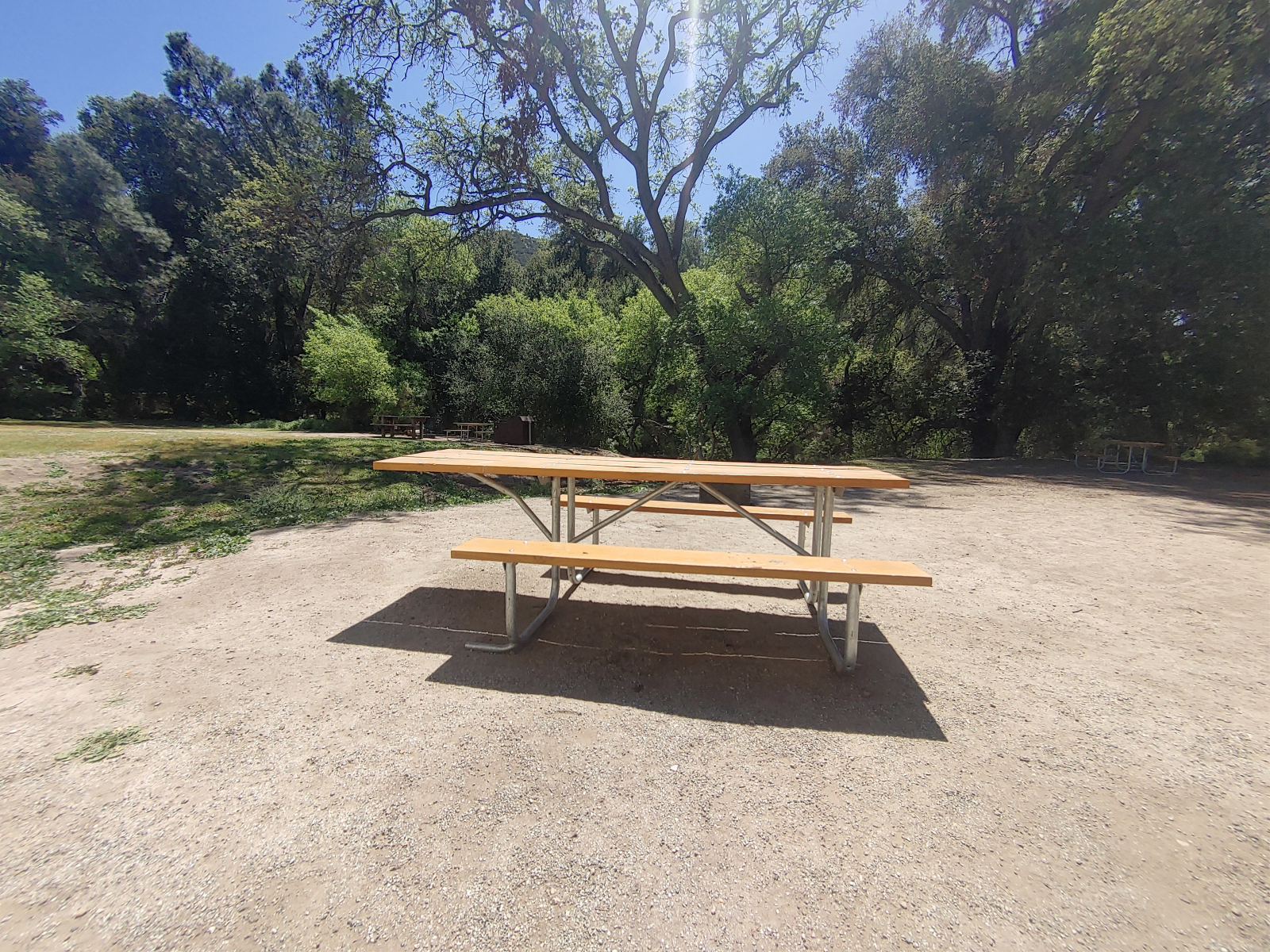
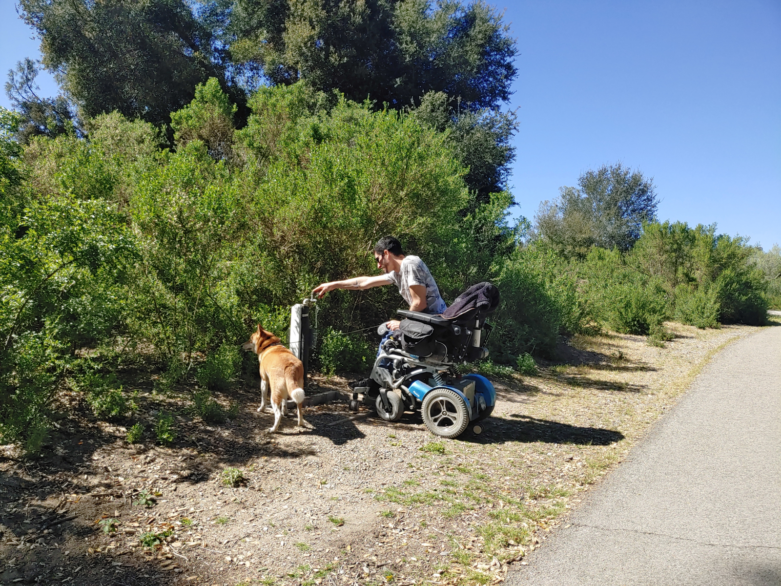
This area has accessible parking and access to a drinking fountain and observation telescope. The picnic area is on a hard-pack dirt surface with no modified picnic table, but deepening on height, some people may be able to fit under the table at the end. The flush toilets here are not wheelchair accessible, so a portable toilet out-front has been provided.


East Side
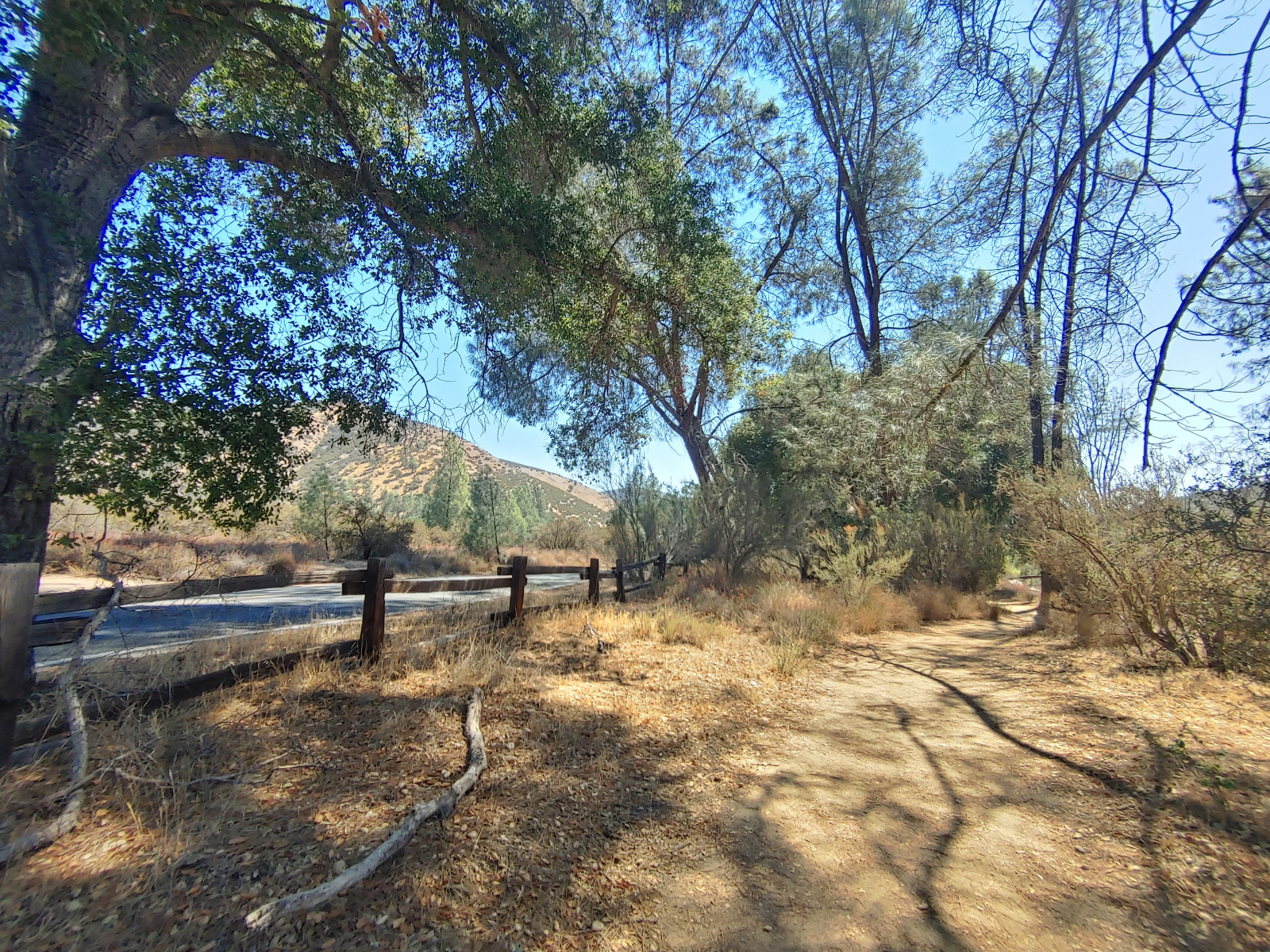
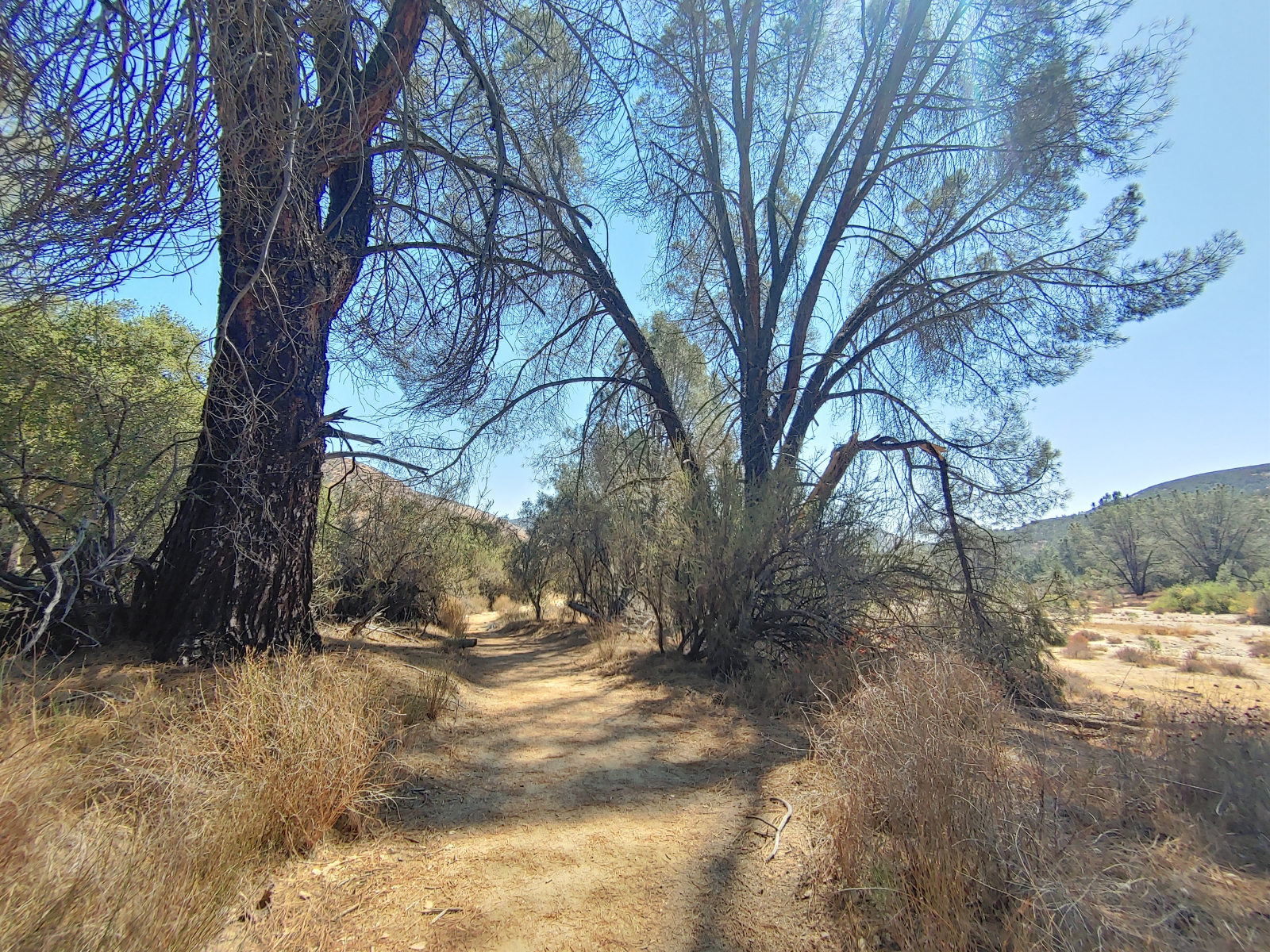
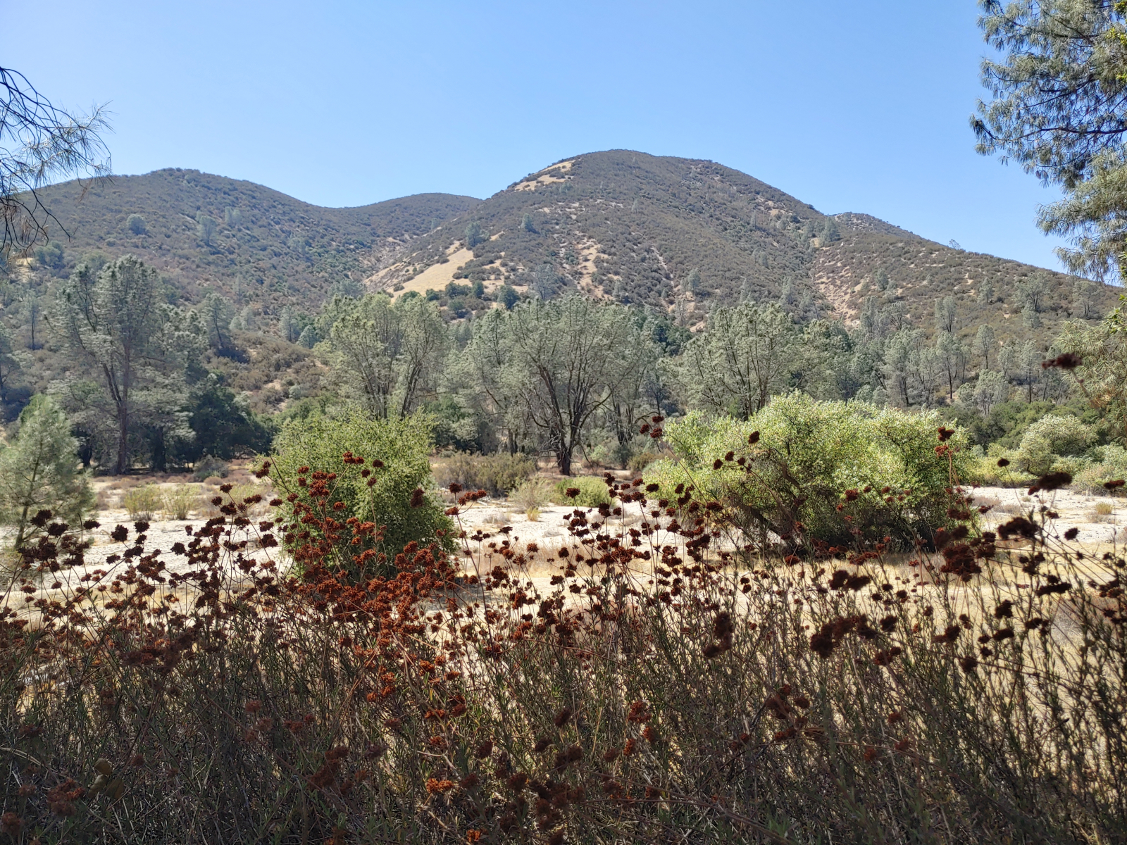
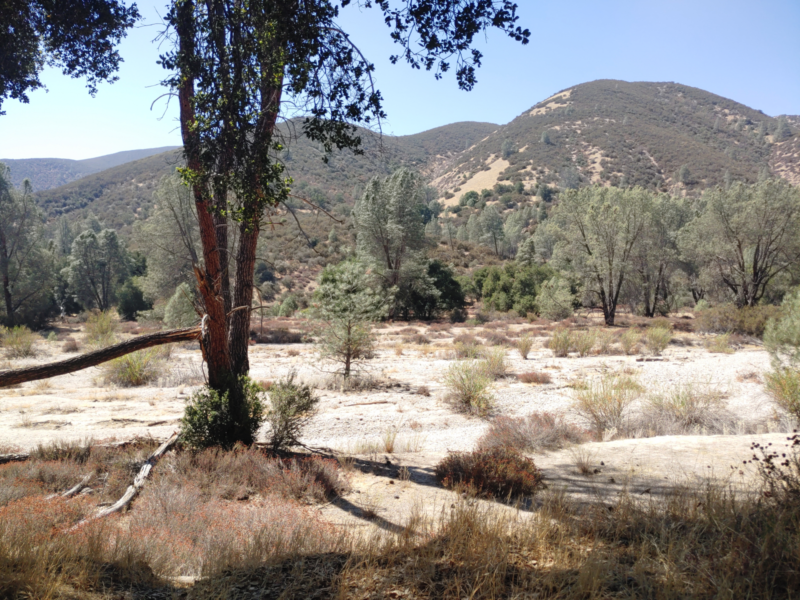
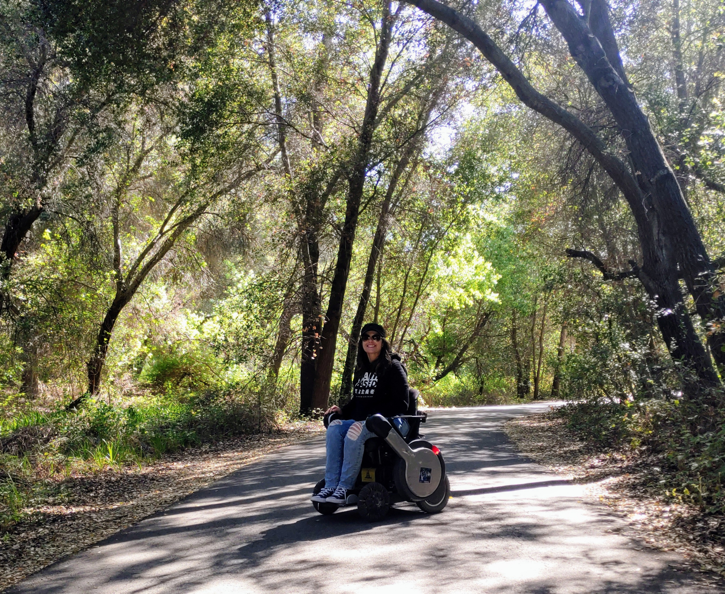
The east side of the park is in the valley of the mountains. Following the Pinnacles Parkway Road with views of the peaks and a dry creek bed is the one-way Sycamore Valley Trail with a hard-packed dirt surface. Most of the trail is exposed to the sun, though a few parts are shaded by nearby trees. Look out for soft sand or rocky spots. When the trail veers off this main road towards Bear Gulch, it becomes inaccessible; the Bear Gulch visitor center is also inaccessible. Instead, continue hiking along the dry creek on the Bench Trail from the Manzanita Parking Area.
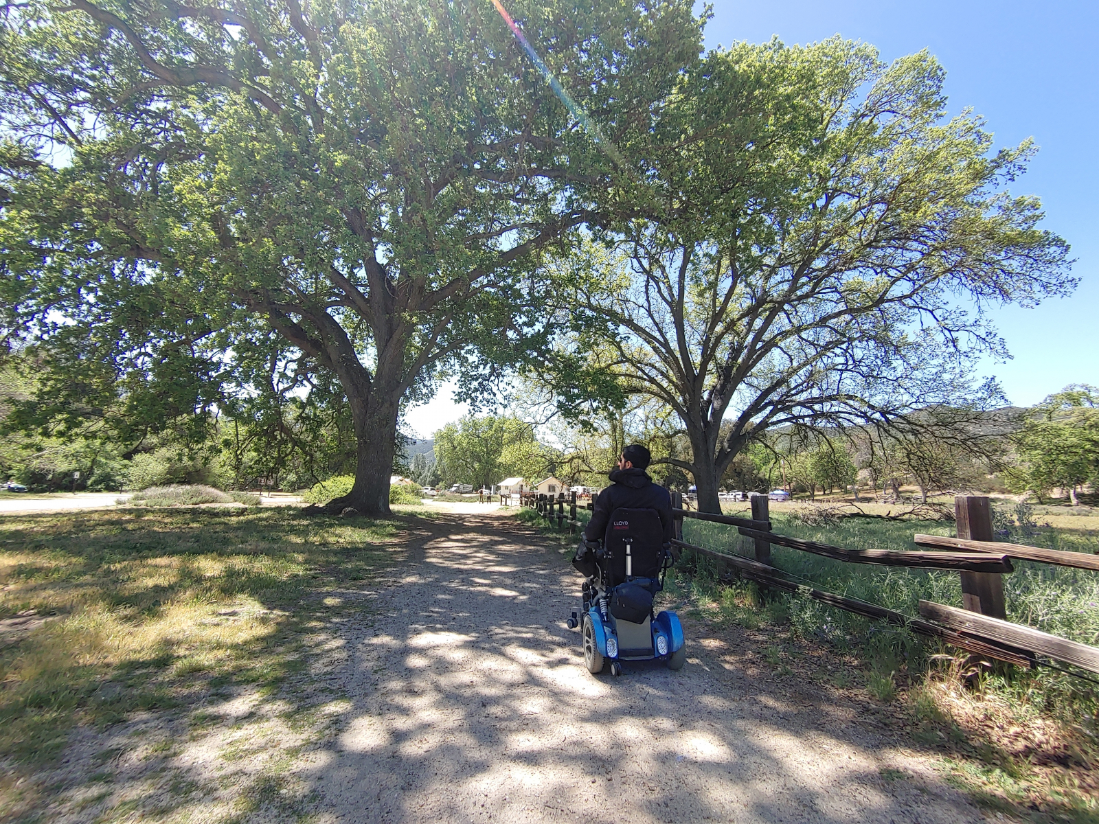
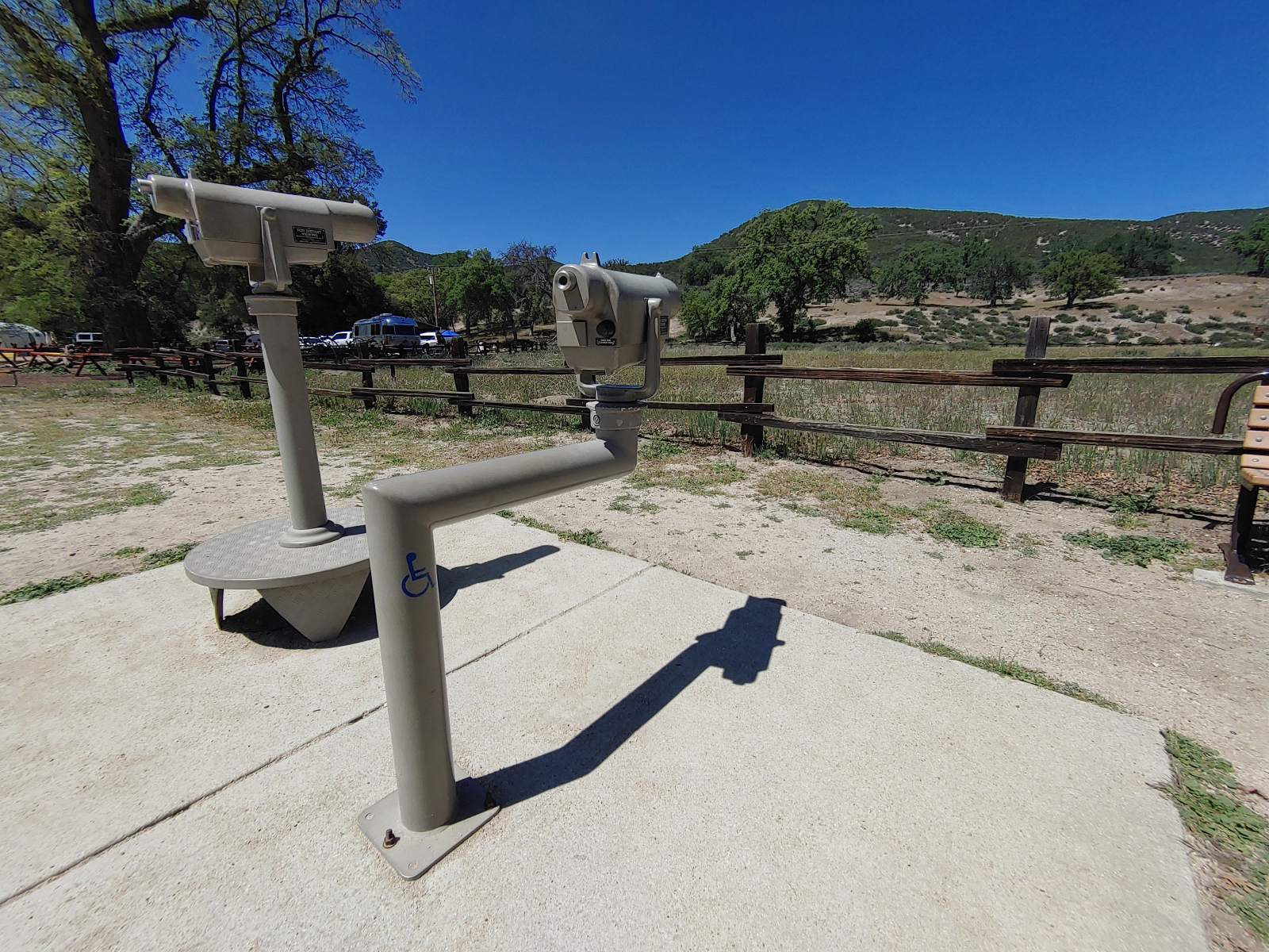
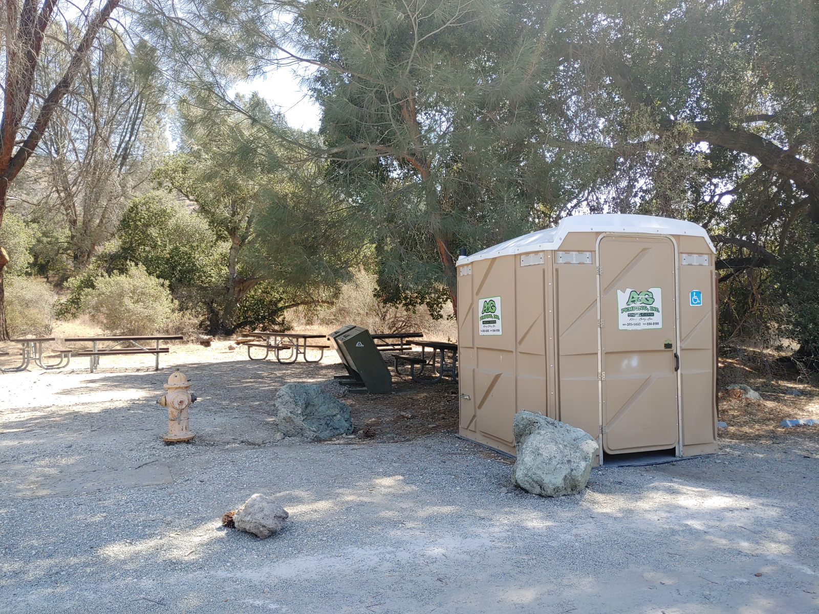
The one-way Bench Trail travels down the road to the campgrounds; part or all of this trail may be accessible by wheelchair. A great starting point to the Bench Trail is at the Peaks View Overlook with a paved viewing platform, bench, information boards, and inaccessible binoculars. Designated handicapped parking and a large portable toilet are nearby. The Bench Trail has another trailhead at the end of the campgrounds, near group campsite #134. There’s no official handicapped parking but the surface is paved asphalt. A wooden gate marks the start of this firmly-packed trail that’s wide and flat enough for wheelchair hiking. This section is generally greener than the one by the road.


Campgrounds
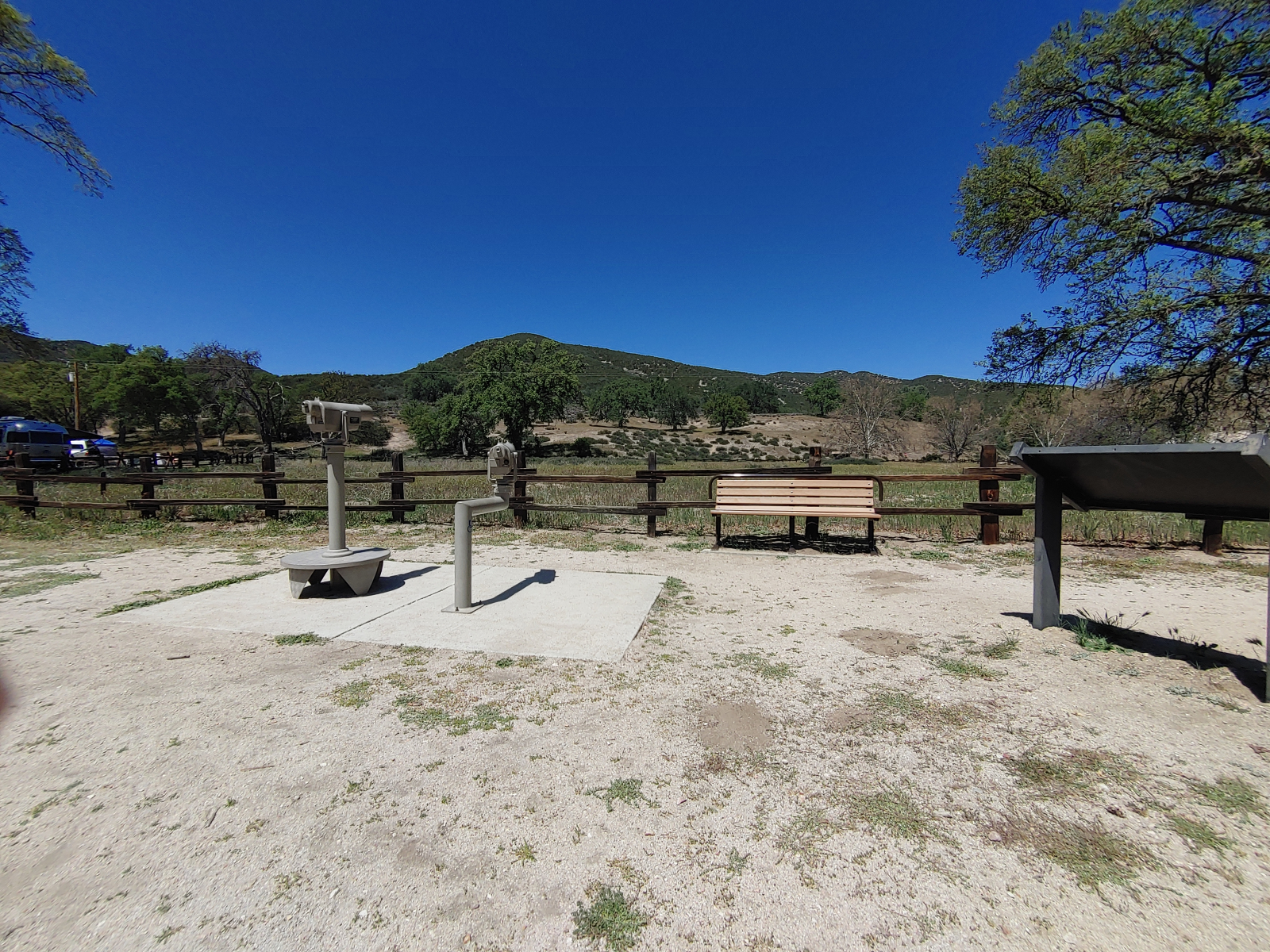
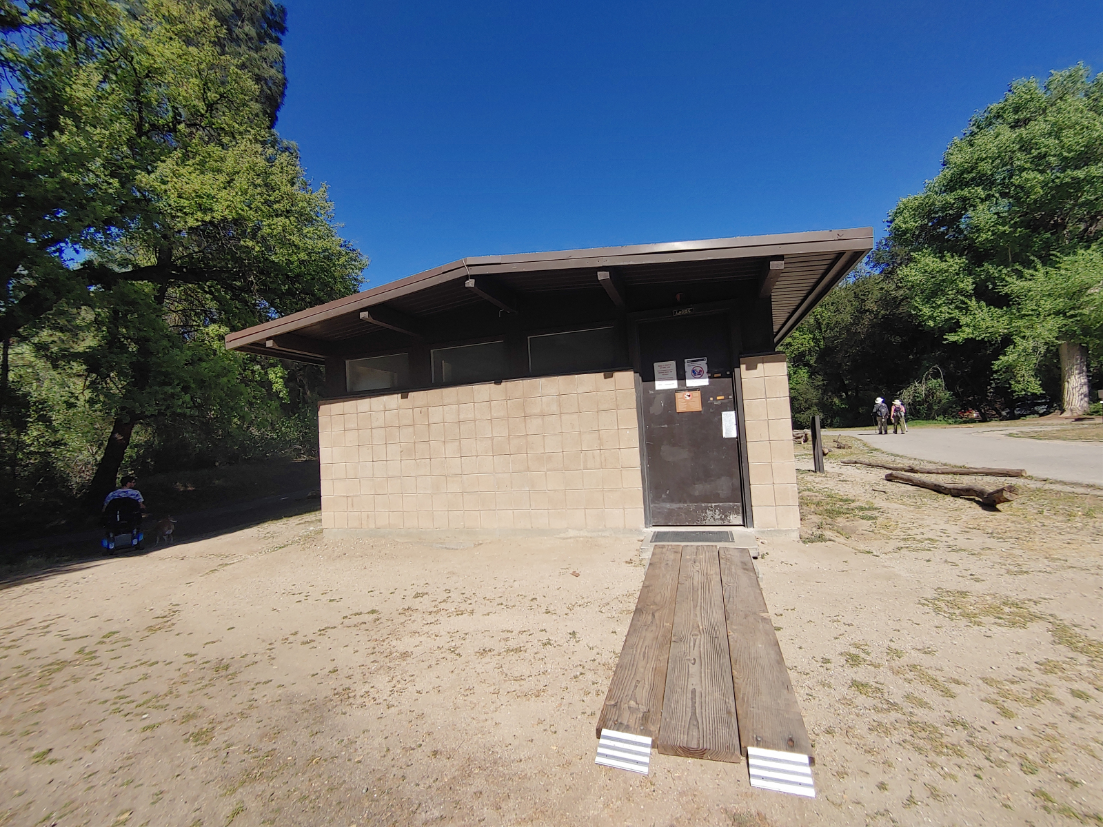
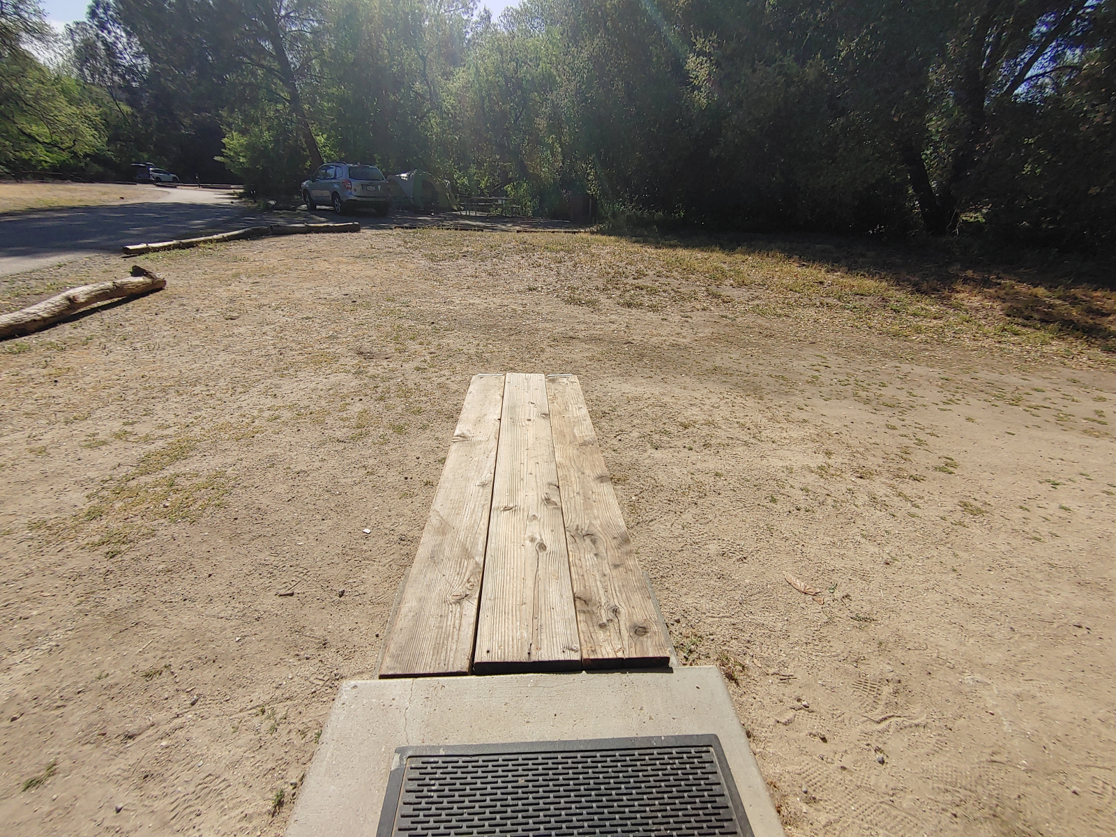
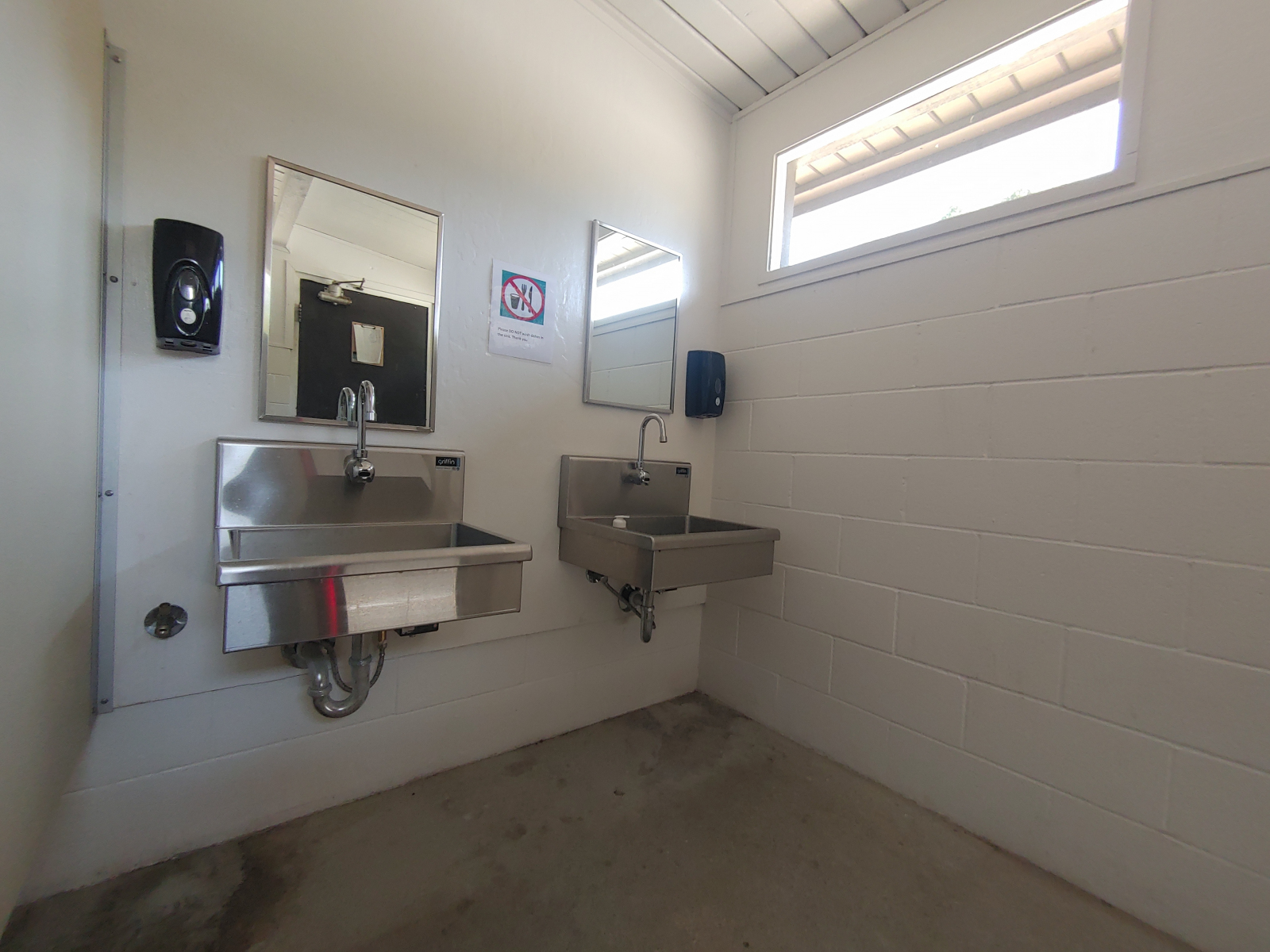
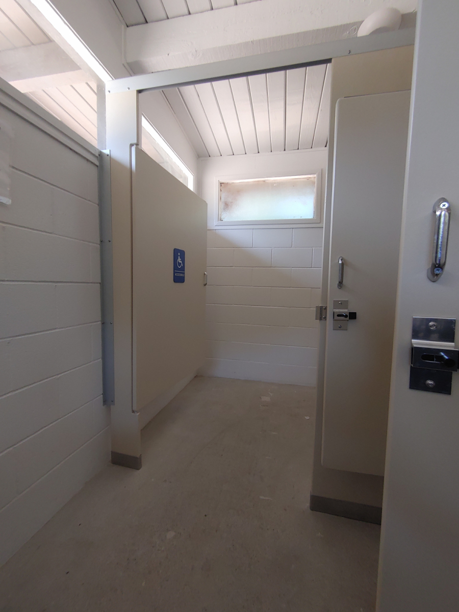
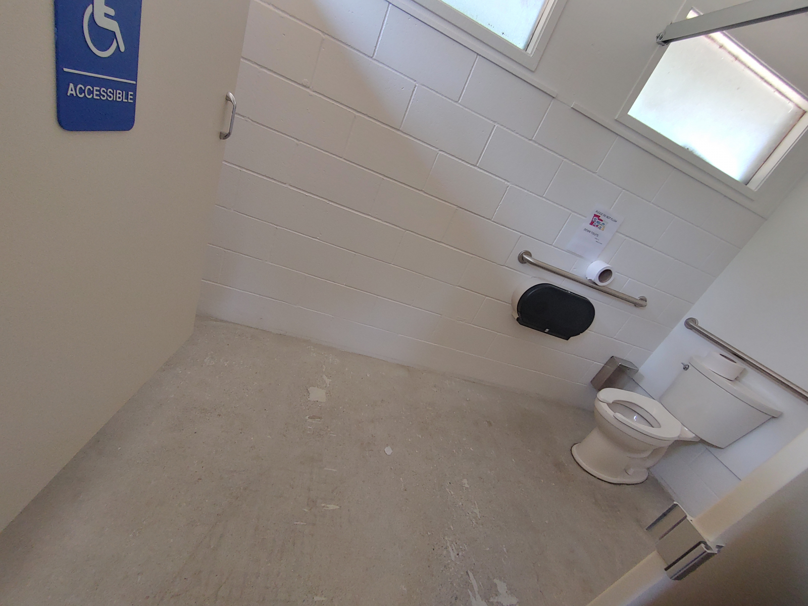
A short stroll from the campground store is a California Condor viewing area with two sets of binoculars on a paved platform, and one is wheelchair accessible. A bench is feet away. The campground store has a designated handicapped parking spot next to an accessible portable toilet. One flush toilet is accessible in the campgrounds with a larger stall and grab-bars, but currently, the building does not have a ramp to get inside. (We set up wooden boards when visiting.) Shower facilities at the park are not accessible.
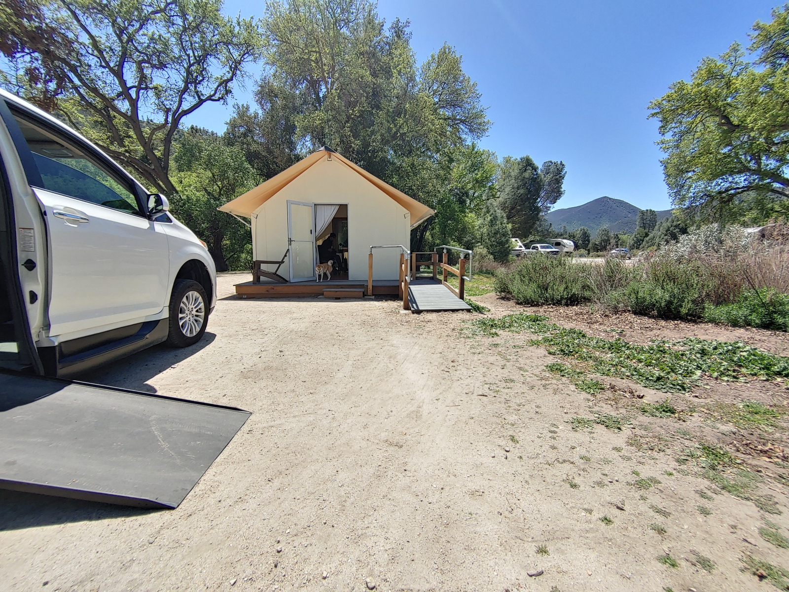
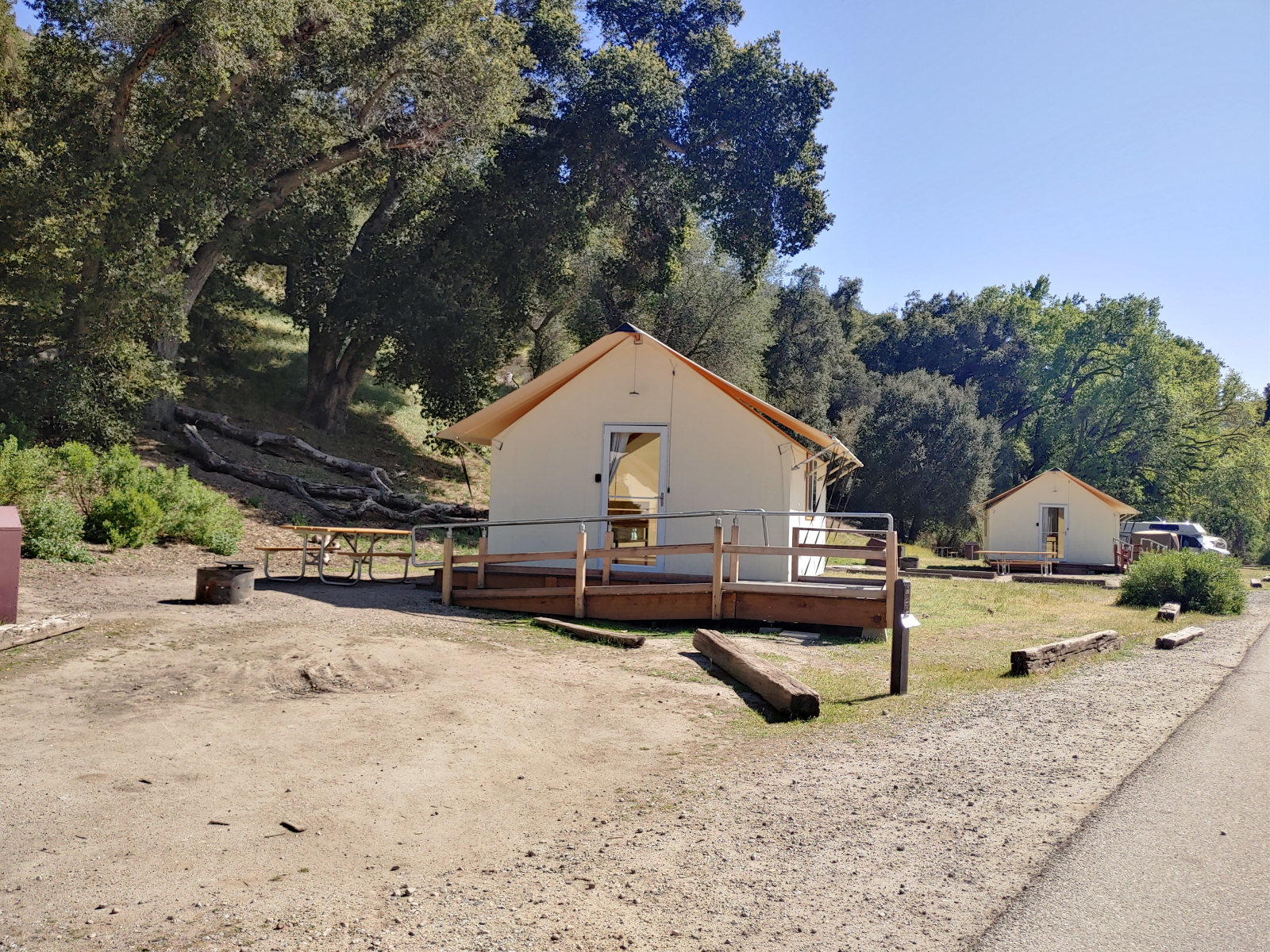
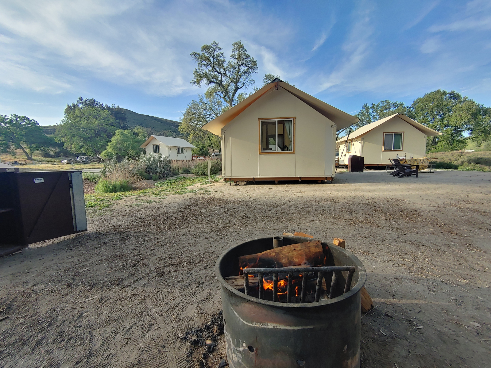
Though the campgrounds are in the park, they are operated by another company. Several campsites have tent cabins with a ramp, picnic table with an extended end, a raised fire-pit, and barrier-free ‘bear box’ to store food. Inside were two twins and one full-sized bed on hardwood floors along with a chair, sliding windows, a lantern, and a small heater. A couple of power outlets are also inside. The only barrier to these tent cabins is the threshold between the ramp and ground; some had a significant space that would block a smooth transition if using a wheelchair. Filling this gap with another board or dirt solves this barrier.
Last updated on March 8, 2024