Strolling through Muir Woods National Monument in Mill Valley, Northern California not far from San Francisco is a space where nature opens a window to the vast depth of life and creation itself. Be still for a moment under the canopy of the ancient redwoods and beside the stream and feel the aliveness in the space around and within you.
The coastal land Muir Woods rests on has long been valued just the way it is. In 1905, 600 acres of land were purchased by William Kent and Elizabeth Thatcher Kent in the name of conservation. When some of this land was threatened to be turned into a dam and reservoir William Kent saved the woods by donating some of his land to become a part of the national park system that John Muir and President Roosevelt had in full effect. The park was going to be named after William Kent but he insisted that John Muir be honored for his conservation efforts of preserving natural landmarks across the United States. When the park first opened people traveled by train to be beneath these trees, and today one area has been transformed so those with limited mobility can also marvel at them.
From the San Francisco Golden Gate Bridge, it is is about a forty minute drive to the park’s entrance, and an hour’s drive from Napa Wine Country. Its convenient location makes Muir Woods National Monument a popular place for travelers and locals to visit. People from all over the globe come to walk under these grand redwood trees. During the warmer months pathways get crowded, so plan to come earlier in the day. Even in the winter, the afternoons are busy with people; weekend or weekday.
Hiking at Muir Woods
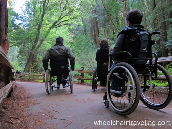
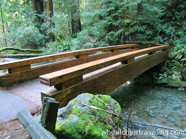
The main accessible trail at Muir Woods National Monument is a 1.5 mile loop, but the way you meander could make it seem longer, or you can cut your route short. There are no restrooms or drinking fountains along the way. Occasionally, you will find a bench. A few sections of the trail split off in loops, so you can choose to spend time on both sides of the river if you like. This is possible by crossing one of the few bridges you’ll see along the way. Be advised that the trail extends just past the loop so you’ll need to go back the general direction you came. What lies beyond Bridge 4 is a side trail and the accessibility is currently unknown.
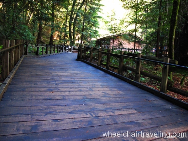
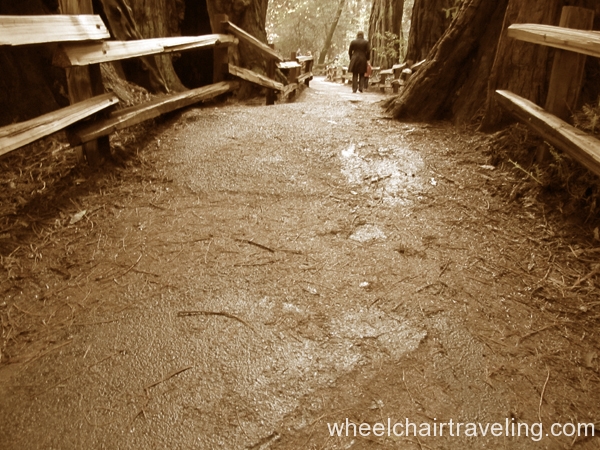
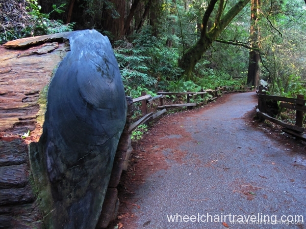
Some spots along the trail need to be paid attention to. Patches of the trail will be eroded, usually from tree root growth, leaving cracks or bumps. Proceed with caution and scope out the easiest route to get past the obstacle. The easiest section begins with a boardwalk just past the enormous tree stump on display at the main entrance; there is a sign for access.
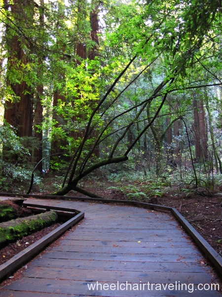
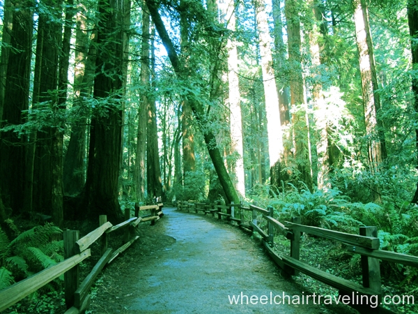
One hill on the trail was moderately steep (about 5-6 degrees in grade), but was not much trouble with a good rolling start or power assistance. A smaller hill close by on the trail is an easier climb, and the last of such inclines. The trail was mostly paved mixed with boardwalks; sections may be saturated with leaves. Look all around you while you stroll under the redwoods, look up and look behind you because the trail you saw in front of you is different when you look back.
Visitor Center, Parking + Restrooms
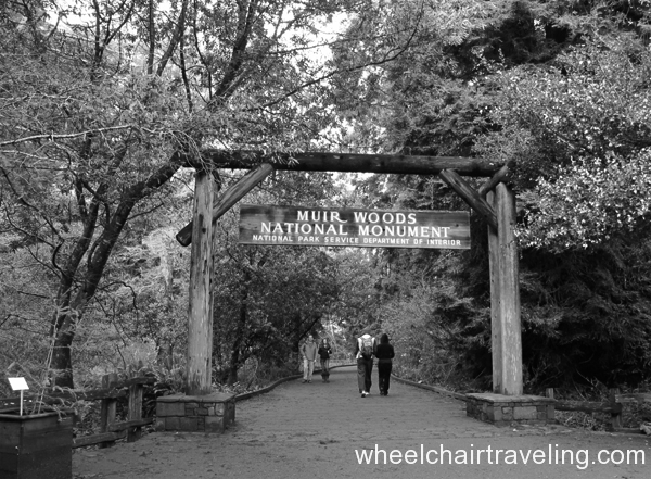
The Muir Woods Visitor Center is at the entrance where you can get a map, an audio tour, or braille guide. There are several parking spots in the main lot with access, including an overflow area. After passing the welcoming arch for the Muir Woods National Monument, and before getting on the trail, there will be restroom on top of a small hill on your left. I used the facilities after going on the trail and felt that if you can get up the incline to the restrooms that you’ll have no problem on the trail. The restrooms are typical stall style with one accessible stall with grab bars. Another bathroom is located in the main parking lot is level.

