Mammoth Cave National Park is located in the Green River Valley of Kentucky about a 1.5-hour drive from either Nashville or Louisville and is the longest known cave system in the world.
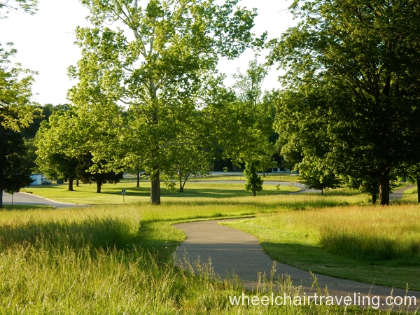
While the cave is what draws visitors to the park, its other features beckon a longer look. Get lost in the beauty of the hardwood forest and the lives of the first people to explore this area, historical buildings, and remnants are found all over the area, and understand the integral role the Green River plays in shaping the surrounding environment.
- Admission: There is no entrance fee to the part itself, but there is one for the accessible Cave Tour.
- Accommodations: If looking to stay overnight, please review the accessible park accommodations.
- Visiting Seasons: The climate/Weather at the Mammoth Cave National Park is moderate with warm summers and cool winters. Expect thick humidity between March and September from frequent storm systems. In the winter it does snow, though it often doesn’t stick to the ground for long.
- Transportation: No access to in-park transportation, so having your vehicle is necessary; gasoline is available outside the park.
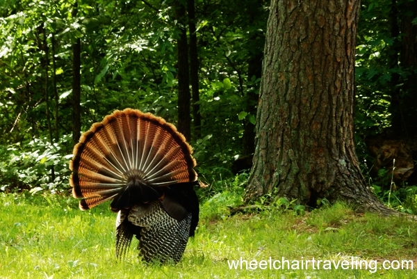
- Wildlife: Deer and wild turkeys roam the park and are frequently sighted. Other woodland animals like rabbits, squirrels, possums, and raccoons are also plentiful. Around waterways, you will often spot many turtles, toads, and frogs. A popular bird is a pileated woodpecker. Two poisonous snakes also inhabit the park, so be cautious if you encounter a rattlesnake or copperhead.
- Nearby Attractions: For attractions nearby please visit the park website.
Visitor Center
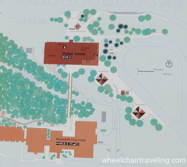
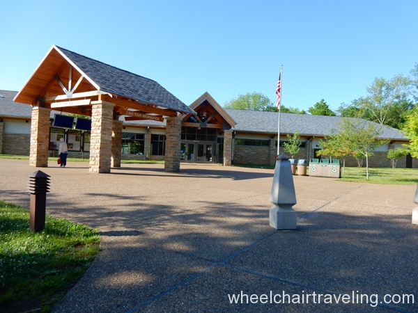
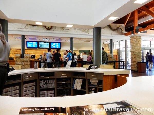
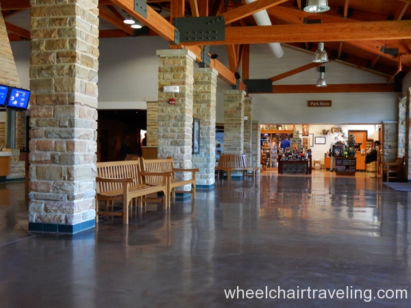
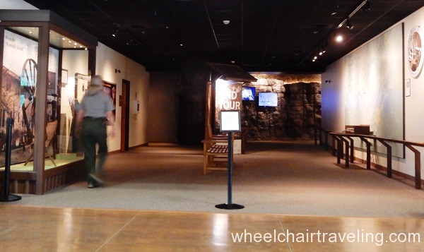
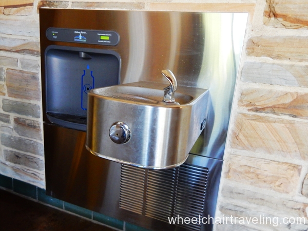
Cave tour tickets can be purchased at the Visitor Center, which also contains a small museum, information booth, and gift shop. Drinking water and bathrooms are available.
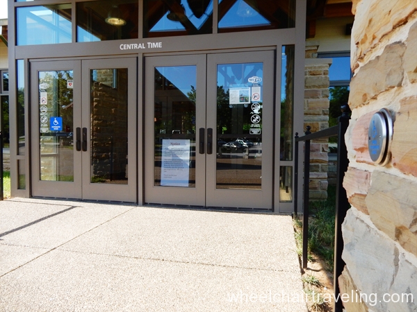
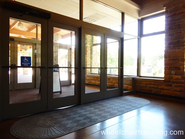
- Doors: Main doors are automatic, side doors are not.
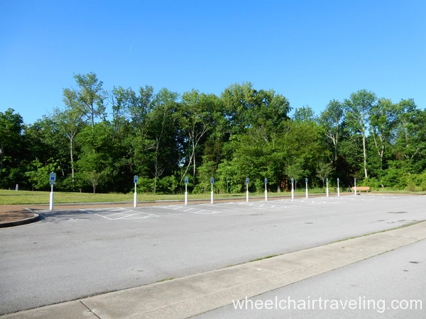
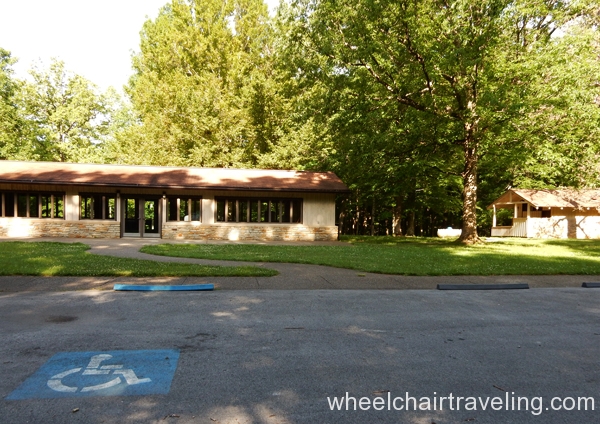
- Parking and Pathways: A paved pathway connects 7+ parking spots closest to the entrance. 1 is larger and the best for van access. Smoothly, paved walkways surround the Visitor Center.
- Water: Free filtered drinking water is available, or you can buy bottled water.
- Accessibility Information: The park website provides highlights to areas and features that have received access modifications. Staff at the Visitor Center were moderately knowledgeable about access features. One particular map showed the “blue route” or the most accessible portions of trails that can be accessed.
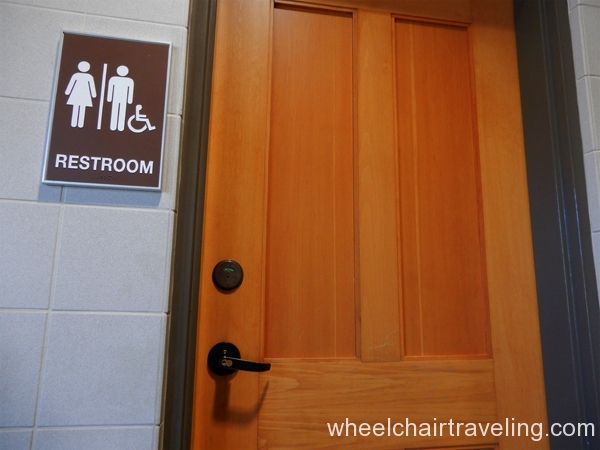
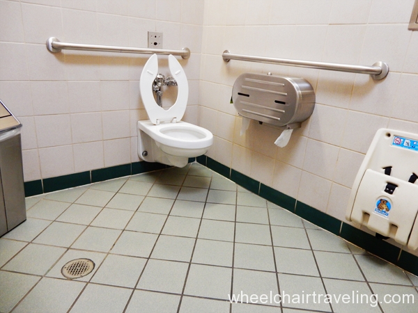
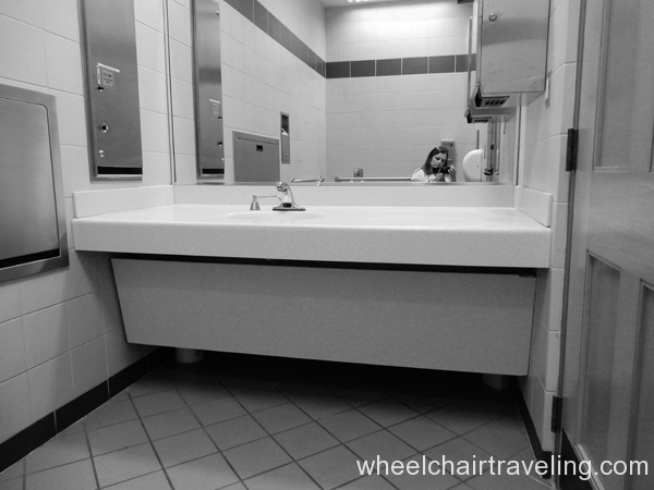
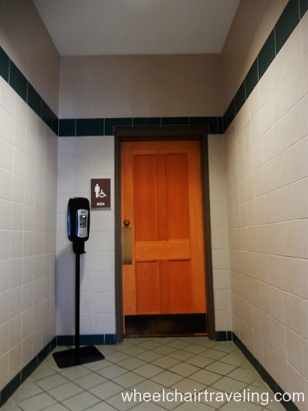
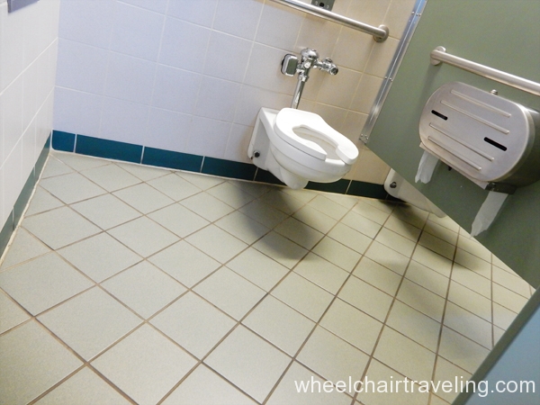
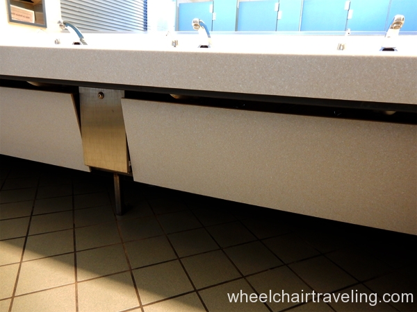
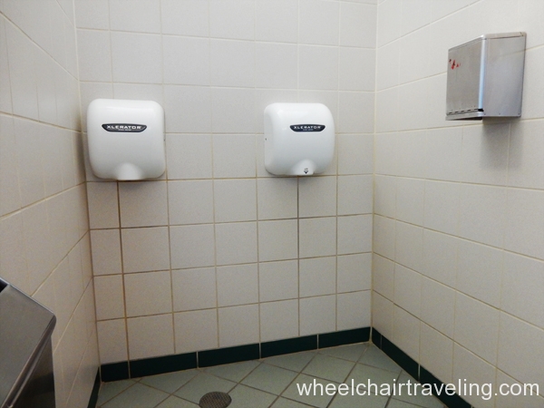
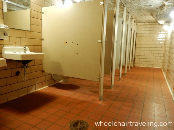
- Bathrooms (3 options): There is an accessible private unisex bathroom with space to maneuver (about 10 feet long and 7 feet wide), grab-bars, and a roll-up sink. On either side of this bathroom door are more bathrooms with stalls for men and women. 1 stall has a set of grab-bars and a 5X5 feet space to maneuver. These bathrooms also have a semi-roll-up sink and lowered hand dryers. Looking at the Visitor Center from the Mammoth Caves Hotel, on the right side is another pair of men’s and women’s stalls that mimic the same access as the stalls inside. However, these are coupled with an additional door.
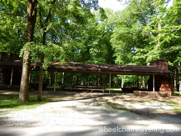
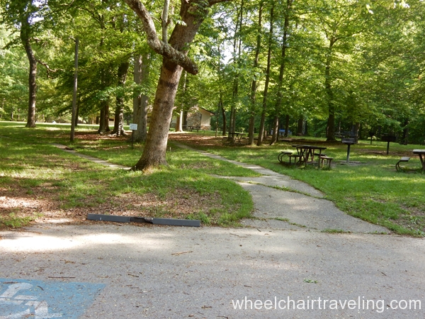
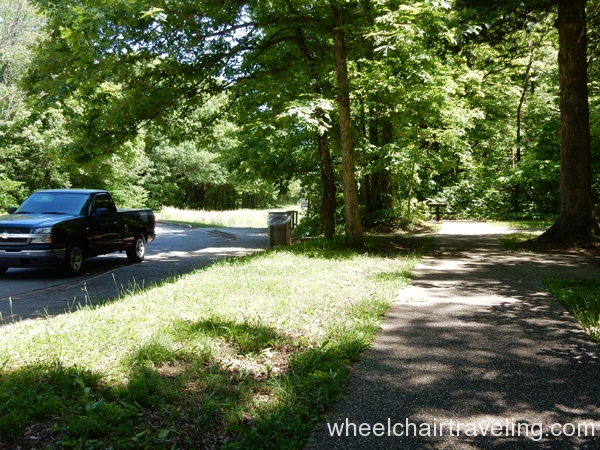
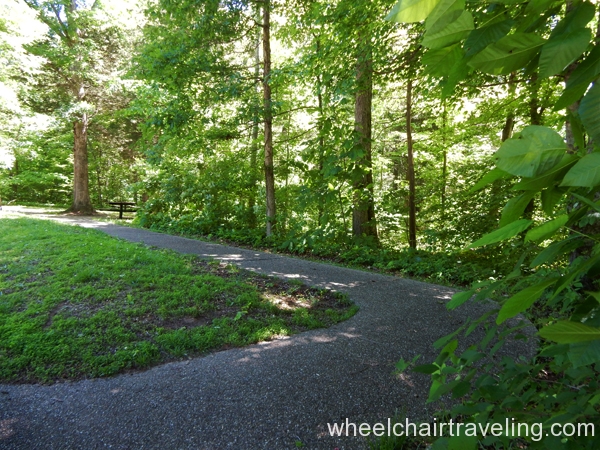
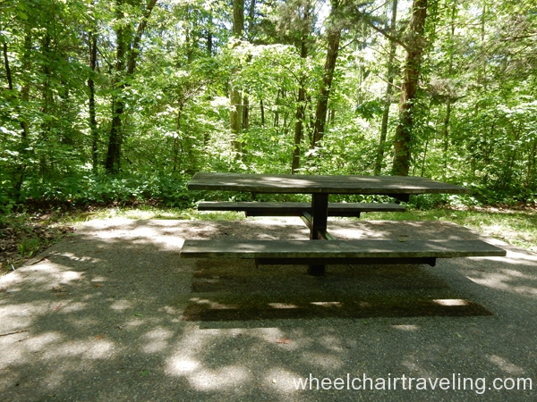
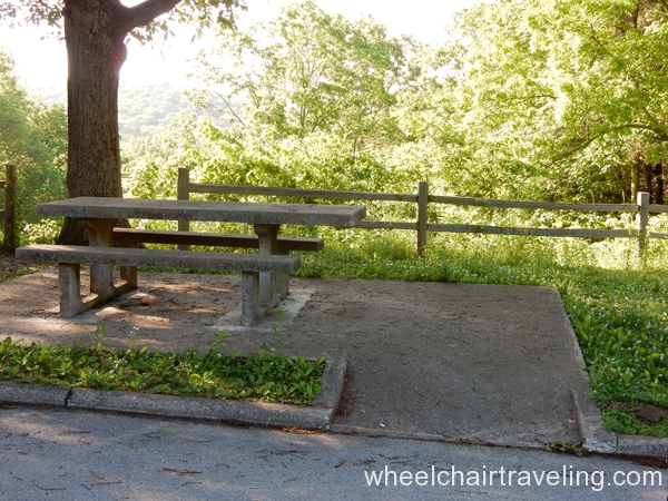
- Picnic Area: A short 2-minute drive north from the Visitor Center and you will arrive at the picnic area for Mammoth Cave National Park. A couple of designated parking spots have firm pathways leading directly to the covered group picnic tables. On the other side is 1 other parking spot with access that leads to a table on the grass, closest to the parking spot (< 10 feet) with a raised cooking grill. Access to restrooms is available in the group picnic area. Pathways through the picnic area are made up of firm concrete but are less than 36 inches wide with inclines (> 8 degrees).
The Cave Tour (0.05 miles)
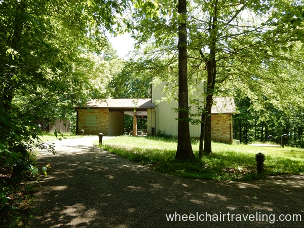
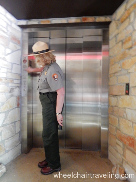
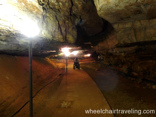
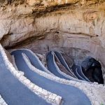
Description: Opening in the summer of 2016 is the Mammoth Cave Accessible Tour. After purchasing a ticket, you will get directions to follow the park shuttle (no access) in your own vehicle from the Visitor Center to an unmarked building. The parking area is paved but has no designated spots. From there, a paved pathway, about 10 feet long with a 2-5 degree slope, leads to the elevator that will take you down to the cave. Only the rangers have keys to open it.
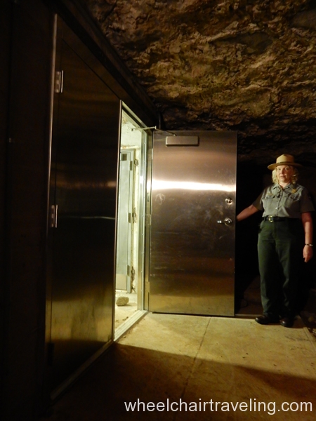
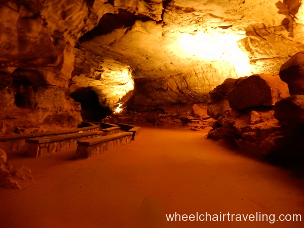
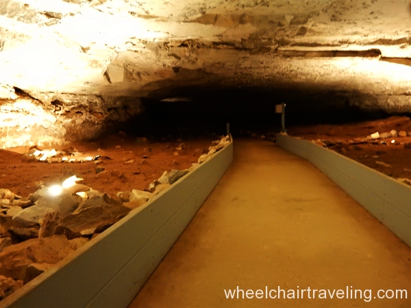
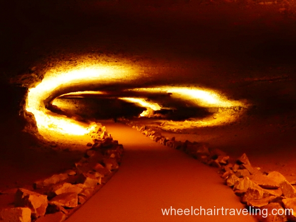
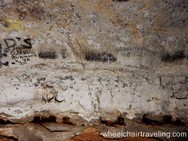
The Cave Tour can accommodate 15-20 people, so with a full group, multiple elevator trips are required. Then a wide side door is exposed for wider access next to a small revolving door that leads to the cave floor. In this section of the cave, the floor is 267 feet below the surface. Aided by a flashlight and some strategically-placed light fixtures, the ranger guides the group along a smooth, paved trail while describing the cave’s geological features, like the gypsum cave flowers, and some of the cave-dwelling creatures such as a few species of bats (some endangered) and cave crickets.
Length: 1.5 hours long
Trail Makeup: Firm, pavement
Width: 36 inches
Slope: The slope and cross-slope are less than 2 degrees.
Bathroom: Yes, but no access modifications.
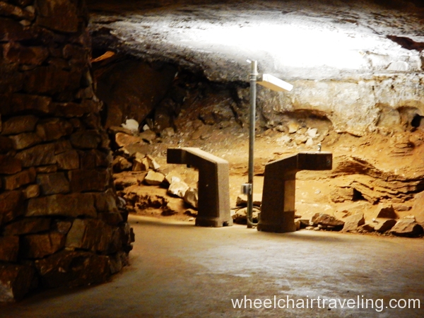
Drinking Fountain: Yes
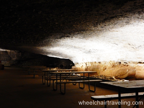
Picnic Tables: Yes, but no time to picnic on tour.
Hiking Trails
- SLOAN’S CROSSING POND WALK (0.4 miles)
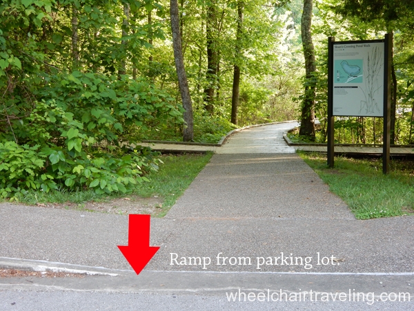
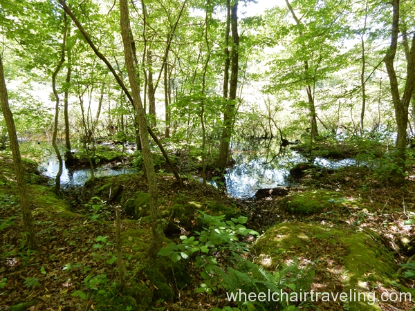
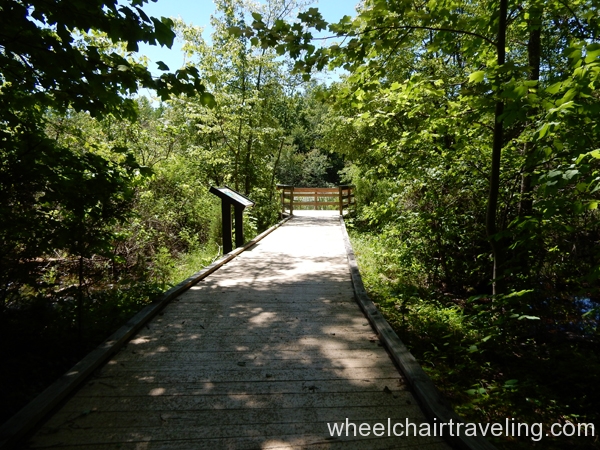
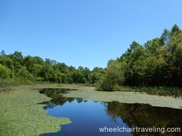
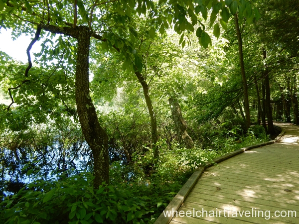
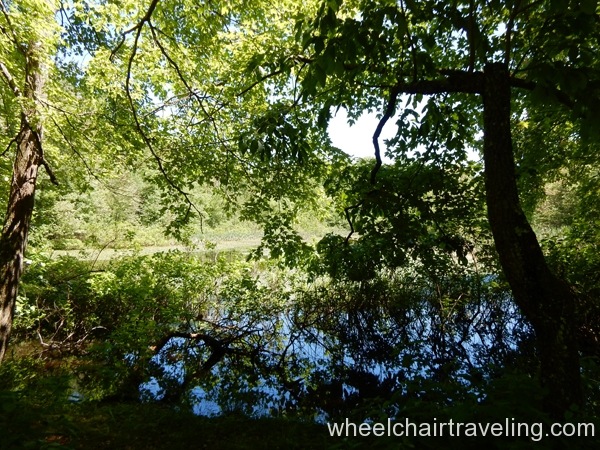
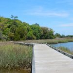
Description: This looped trail takes visitors around a scenic pond. Wildlife viewing is best in the early mornings and evenings. Along the trail, a large viewing deck provides information. Turtles of all sizes are commonly spotted in or around the pond, and there are also many frogs and toads, and even snakes. A copperhead snake (poisonous) was spotted along this trail, so keep a lookout.
Location: About 5 miles from Entrance 48 at Park City along Mammoth Cave Parkway.
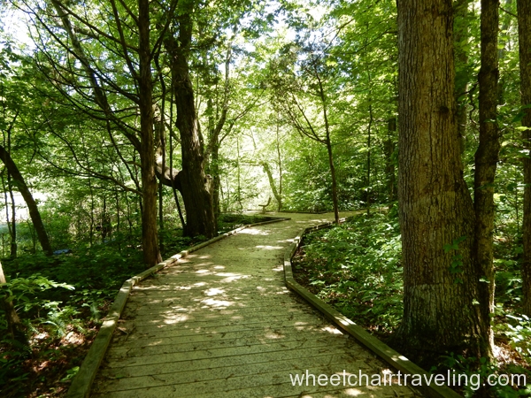
Makeup: Firm, boardwalk
Width: 36 inches
Slope: At the trailhead, heading left or right around the loop, there is a slight grade (2-5 degrees) but then levels off as you continue. The cross-slope is less than 2 degrees. A few 5X5 feet resting pads are found around the pond.
Signage: Yes—Access sign visible from the road.
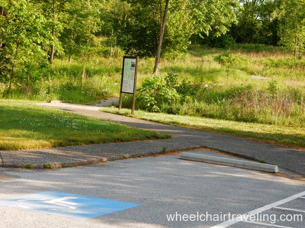
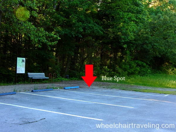
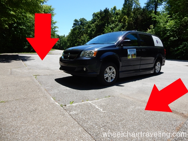
Parking: 2 ramps from the paved parking area lead to the trail but no designated spot.
Bathrooms: No
Drinking Fountain: No
Picnic Tables: Yes. A paved pathway leads from the trailhead and parking area to a couple of tables with a slope of around 5 degrees. - HERITAGE TRAIL (0.5 miles)
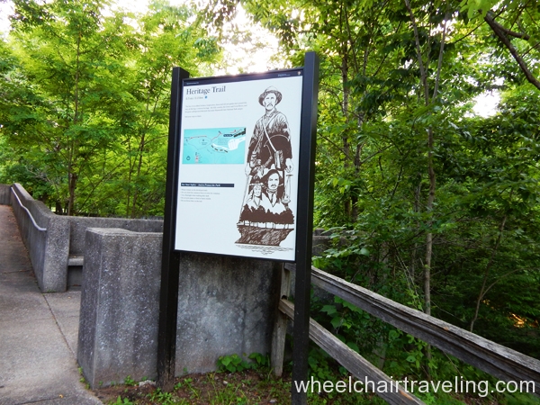
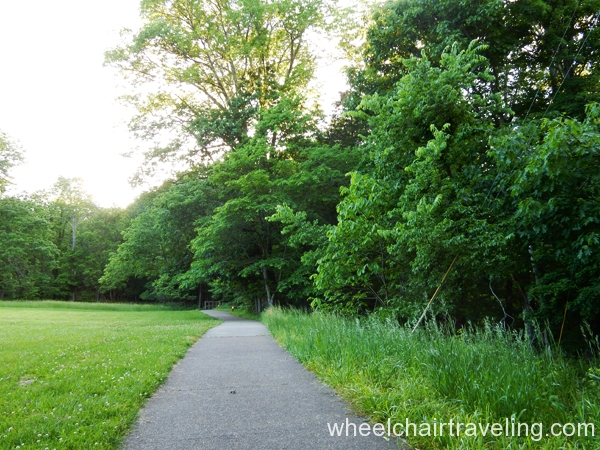
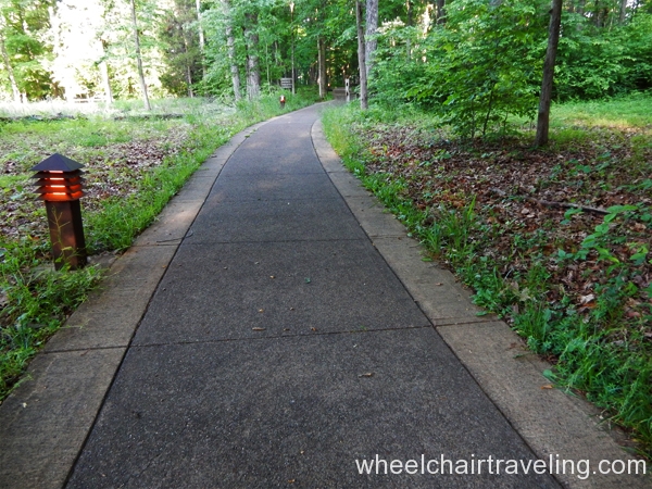
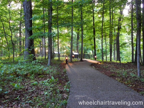
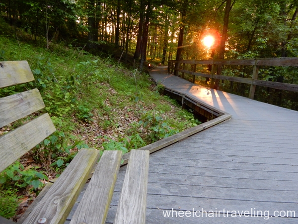
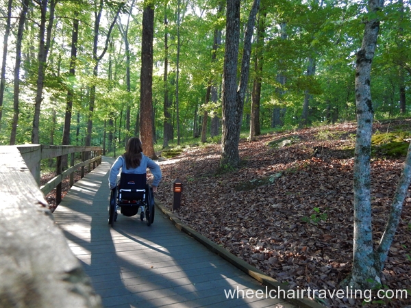
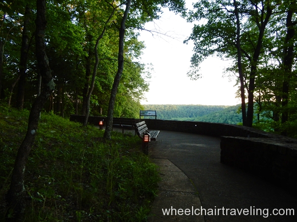
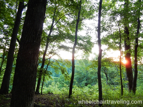
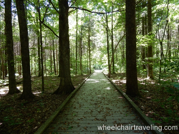
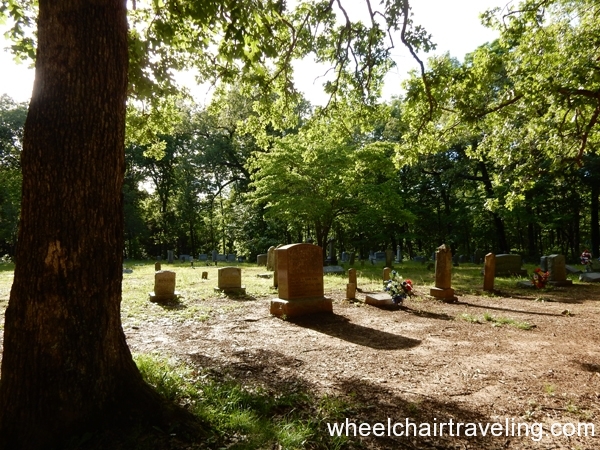
Description: This looped trail takes visitors into the hardwood forest, past the Old Guide’s Cemetery, and around Sunset Point, which is best viewed at sunset. There are a couple of benches along the trail with space for a wheelchair to sit alongside.
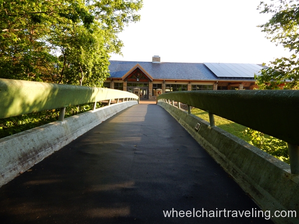
Location: Next to the Mammoth Cave Hotel across from the Visitor Center right after the pedestrian bridge (bridge connects the two buildings).
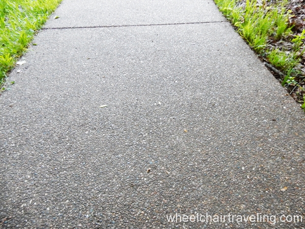
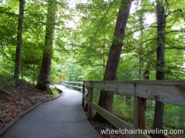
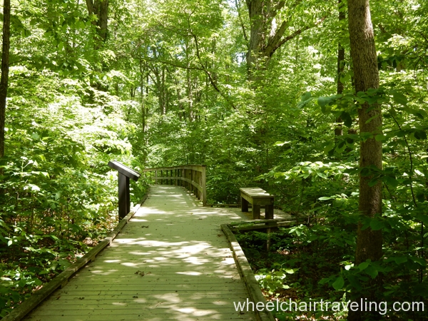
Makeup: A firm trail with a pathway combination of pavement and boardwalk. Handrails are available during the boardwalk section (about 0.1 miles).
Width: 36 inches
Slope: Some sections of the loop are between 2-5 degrees with leveled areas mixed in. The cemetery has a small side trail (less than 50ft) that is 5-8 degrees in slope. Cross-slope was 2 degrees or less.
Signage: Yes—Access symbol on trailhead sign.
Parking: Yes, at Mammoth Cave Hotel or the Visitor Center.
Bathrooms: Yes, at the Mammoth Cave Hotel (closest).
Drinking Fountain: Yes, but no access modification at Mammoth Cave Hotel, which is the closest. Otherwise, go inside the Visitor Center.
Picnic Tables: No - MAMMOTH CAVE RAILROAD BIKE & HIKE TRAIL (9 miles)
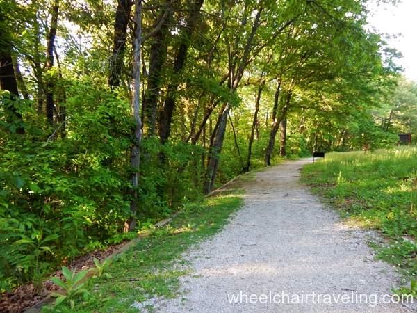
Description: Running through the hardwood forest, this two-way trail is situated on the old railroad line bed that historically carried passengers and cargo to the park for forty years. Many sections are level, but a few hills prevent the park from calling the trail accessible. The trail is used by all types of visitors; biking along the trail is highly common. Parts of the trail are nearly level but some areas may be too steep (see details about the slope below).
Location: It starts in Park City, running parallel with Mammoth Cave Parkway, and ends at the Visitor Center.
Makeup: A firm foundation with gravel on top and a few boardwalk sections.
Slope: A few slopes with more than 8 degrees are found on this trail, which may be problematic for manual wheelchairs but not for those with power assistance. Two of the biggest slopes are around the Diamond Caverns and Slogan’s Pond Walk. Nonetheless, large stretches of this trail are relatively flat, like around Doyel Overlook. Cross-slope ranged between 0-5 degrees but averaged around 2.
Signage: No, which made it difficult to determine access points.
Parking: There are a few paved parking lots with access to this trail on Mammoth Cave Parkway. Some have designated spots and access to the trail while others do not. Some parking areas may even have partial access; meaning designated parking but no trailhead access or the other way around.
Bathrooms: No
Drinking Fountain: No
Picnic Tables: No - HORSE TRAILS (6+ miles)
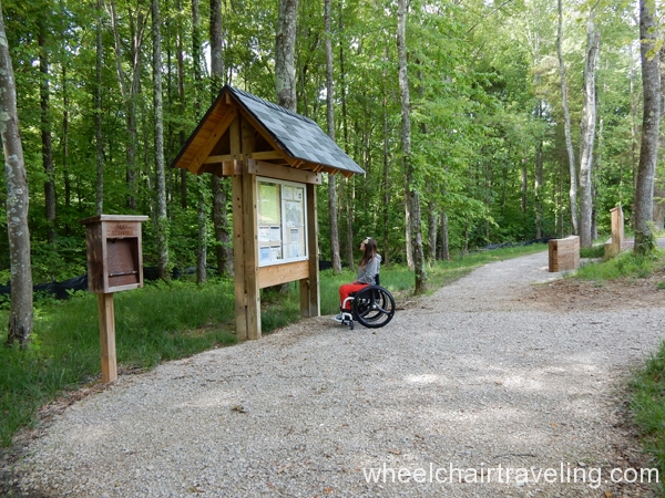
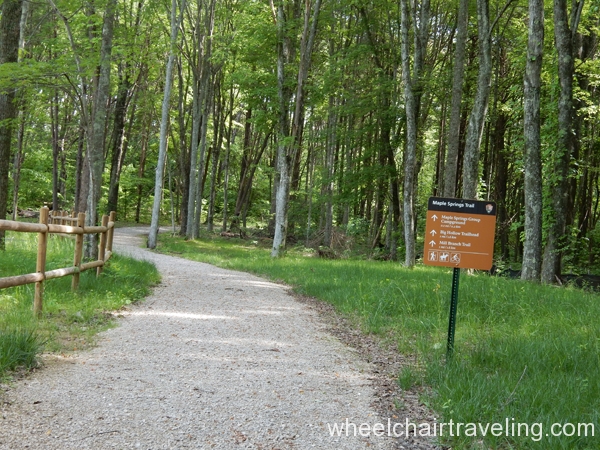
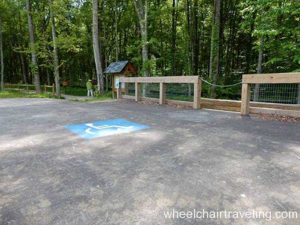
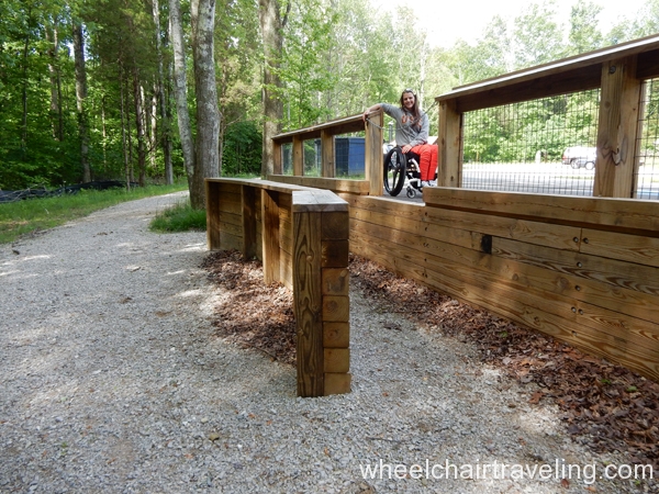
In the backcountry of the park at Maple Springs Group Campground, there is a trailhead for horses that are also used by hikers and bikers. If you have your own horse, take advantage of the modified platform that makes mounting your animal easier. The trailhead is called the Buffalo Trail but about 2 miles in, it splits with the Turnhole Bend Trail veering off to the left. Those with power wheelchairs or equipment can explore this trail to some point. However, some sections may be too steep or rocky for comfort —safety first! Overall, the horse trails tend to be pretty uneven with exposed rocks and roots and can become mired following rain.
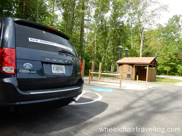
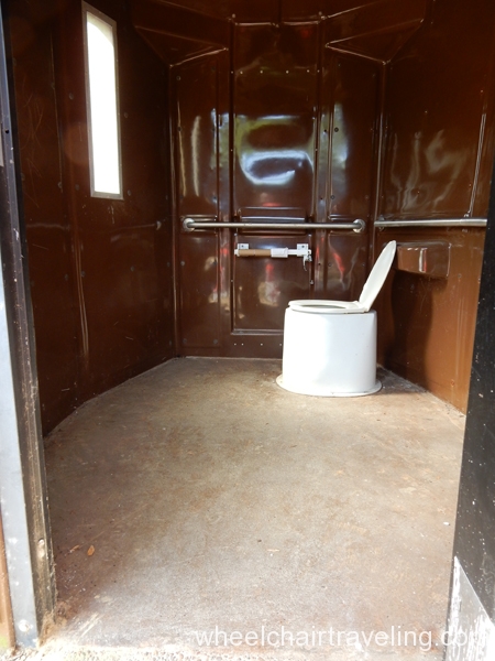
Bathroom: Yes, has a unisex vaulted/pit toilet. It is the only restroom with access in the backcountry!
Parking: Yes, 3 designated spots with paved pads; 1 at the horse mount.
Overlooks
- DOYLE VALLEY OVERLOOK
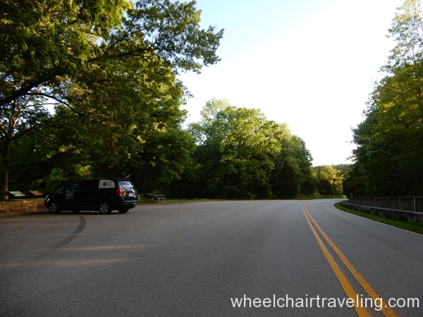
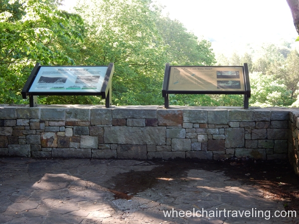
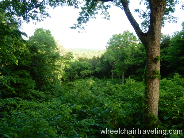
Description: A short-stop overlook right off the road features a view of Doyle Valley. A paved ramp leads to a platform with information about rural Kentucky and the surrounding geography. A paved sidewalk also leads towards the road and to an access point for the Mammoth Cave Railroad Bike & Hike Trail.
Location: About 0.5 miles south of Sloan’s Crossing Pond off Mammoth Cave Parkway.
Makeup: A short, paved ramp (< 3 feet) leads up a wide cobblestone platform.
Slope: Less than 2 degrees
Signage: Only for the overlook, no sign for access.
Parking: Paved with no designated spots for access, but ramps to sidewalk and platform.
Bathrooms: No
Drinking Fountain: No
Picnic Tables: Yes, one table here with access. Great picnic spot! - SAND CAVE TRAIL OVERLOOK (0.1 miles)
Description: This overlook is classified as a trail at the park, but is more of an overlook. The one-direction trail takes just a few minutes through the hardwood forest to reach the viewing platform to the entrance of the Sand Cave. Information and benches are provided on this platform.
Location: Off Rt. 255 on Cave City Road at the edge of the park.
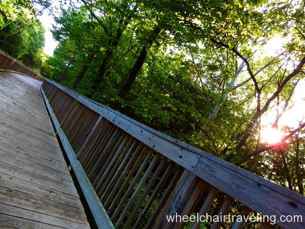
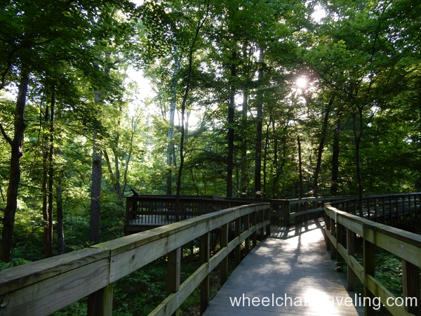
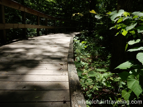
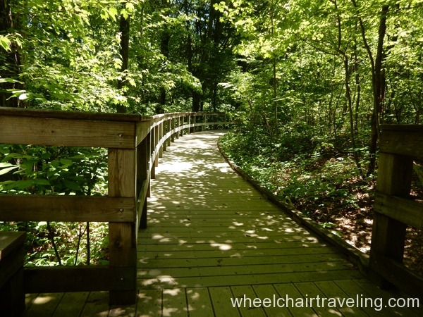
Makeup: A firm, boardwalk with handrails.
Width: 36 inches
Slope: From the trailhead, the boardwalk slopes downwards with a grade between 2-5 degrees. Cross-slope is 2 degrees or less. The platform is basically level (less than 2 degrees).
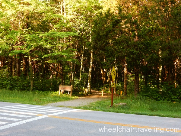
Signage: Yes—Access symbol on a sign visible from the road.
Parking: Paved with no designated parking, but two paved ramps to access the trailhead.
Bathrooms: No
Drinking Fountain: No
Picnic Tables: No
Additional Attractions and Activities with Access
- The “Dinky Train” is a historic train that was used to transport people and cargo to Mammoth Cave National Park, and is displayed alongside the Mammoth Cave Railroad Bike & Hike Trail about 0.1 miles from the Visitor Center. The pathway at this section is paved and 36” wide.
- Ranger lectures, or Campfire Programs, are given at the park amphitheater which has access. There is also a half-hour guided walk with a ranger along the Heritage Trail. See schedules on the park site for details.
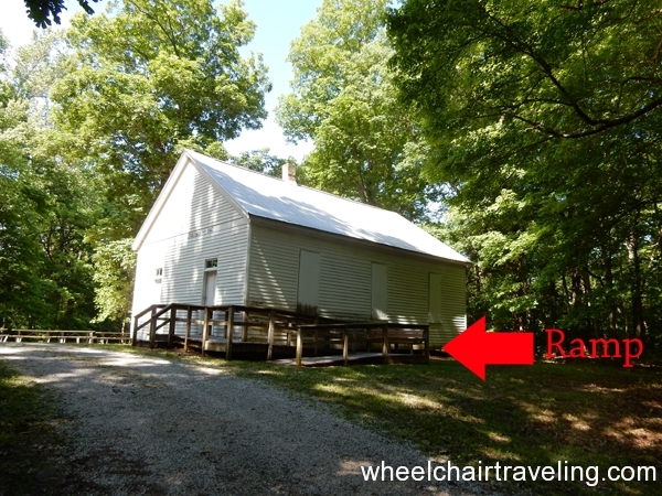
- A few old churches with cemeteries are scattered around the park and can be accessed by vehicle. Some are off the main road, like the Mammoth Cave Baptist Church, where you can visit the ‘Greatest Cave Explorer Ever Known,’ Floyd Collins, who died in Sand Cave. Another example is the Good Spring Church in the backcountry located down a dirt road across from the Maple Springs Group Campground.
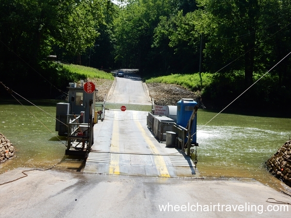
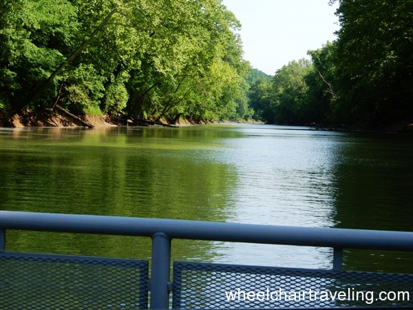
- Green River Ferry shuttles a maximum of 3 vehicles at a time over the Green River in the backcountry. The purpose of the ride is purely practical, but can also be both interesting and educational.
Last updated on June 11, 2023

